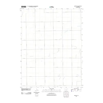
2010 Map of Akron SE
USGS Topo · Published 2010About this map
Brunker Creek meanders across this rural section of Washington County, defining the drainage patterns of an otherwise strictly gridded agricultural landscape. At the start of the 21st century, the area is characterized by an expansive network of sectional roads, including north-south thoroughfares like County Road JJ and County Road MM, which intersect with east-west routes such as County Rd-38. The topography is subtly marked by the headwaters of intermittent streams, with Hell Creek emerging in the southeast and the elusive Surveyor Creek appearing briefly in the northwest corner. This map provides a clear record of the modern rural infrastructure, showing the transition from local gravel roads to established connectors like County Hwy-30.
Find a feature on this map
20 named features on this map. Tap any name to fly to it.
Don’t see what you’re looking for? This feature index may not catch every label — zoom into the map to look around manually.
Map Details
Editions of this 2010 Akron SE Map
This is the sole edition of this map. No revisions or reprints were ever made.
Other maps of this area

1954 · Limon
USGS Topo · 1:250,000

1954 · Sterling
USGS Topo · 1:250,000

1957 · Limon
USGS Topo · 1:250,000

1958 · Limon
USGS Topo · 1:250,000

1958 · Sterling
USGS Topo · 1:250,000

1972 · Otis
USGS Topo · 1:24,000

1972 · Snyder Lake
USGS Topo · 1:24,000

1973 · Akron
USGS Topo · 1:24,000

1973 · Platner
USGS Topo · 1:24,000

1973 · Akron SE
USGS Topo · 1:24,000