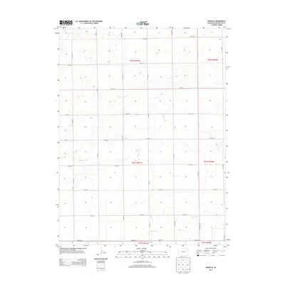
2013 Map of Akron SE
USGS Topo · Published 2013About this map
Brunker Creek and its various tributaries define the drainage patterns of this high plains landscape in southeast Washington County. The terrain is organized by a meticulous grid of rural routes, including Co Road HH, Co Road JJ, and Co Road KK, which facilitate movement through the agricultural sections of the eastern Colorado plateau. In the southern portion of the survey, Hell Creek and its branches carve subtle paths through the landscape near Co Hwy 30, while Surveyor Creek touches the northwestern corner. This 2013 topographic study by the U. S. Geological Survey provides a precise view of the Public Land Survey System boundaries, specifically highlighting the intersections of townships t001n r051w and t002n r051w, as the region continued its long tradition of dryland farming and ranching into the early 21st century.
Find a feature on this map
26 named features on this map. Tap any name to fly to it.
Don’t see what you’re looking for? This feature index may not catch every label — zoom into the map to look around manually.
Map Details
Editions of this 2013 Akron SE Map
This is the sole edition of this map. No revisions or reprints were ever made.
Other maps of this area

1954 · Limon
USGS Topo · 1:250,000

1954 · Sterling
USGS Topo · 1:250,000

1957 · Limon
USGS Topo · 1:250,000

1958 · Limon
USGS Topo · 1:250,000

1958 · Sterling
USGS Topo · 1:250,000

1972 · Otis
USGS Topo · 1:24,000

1972 · Snyder Lake
USGS Topo · 1:24,000

1973 · Akron
USGS Topo · 1:24,000

1973 · Platner
USGS Topo · 1:24,000

1973 · Akron SE
USGS Topo · 1:24,000