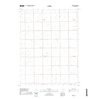
2019 Map of Akron SE
USGS Topo · Published 2019About this map
Brunker Creek and other seasonal waterways define the drainage patterns of this high plains landscape in eastern Washington County. The area is structured by a rigid section-line road network, where routes like Co Rd 34 and Co Rd 37 facilitate access across the open terrain. This 2019 survey documents the enduring agricultural layout of the region, specifically within the townships of t1n r51w and t2n r51w.
Find a feature on this map
24 named features on this map. Tap any name to fly to it.
Don’t see what you’re looking for? This feature index may not catch every label — zoom into the map to look around manually.
Map Details
Editions of this 2019 Akron SE Map
This is the sole edition of this map. No revisions or reprints were ever made.
Other maps of this area

1954 · Limon
USGS Topo · 1:250,000

1954 · Sterling
USGS Topo · 1:250,000

1957 · Limon
USGS Topo · 1:250,000

1958 · Limon
USGS Topo · 1:250,000

1958 · Sterling
USGS Topo · 1:250,000

1972 · Otis
USGS Topo · 1:24,000

1972 · Snyder Lake
USGS Topo · 1:24,000

1973 · Akron
USGS Topo · 1:24,000

1973 · Platner
USGS Topo · 1:24,000

1973 · Akron SE
USGS Topo · 1:24,000