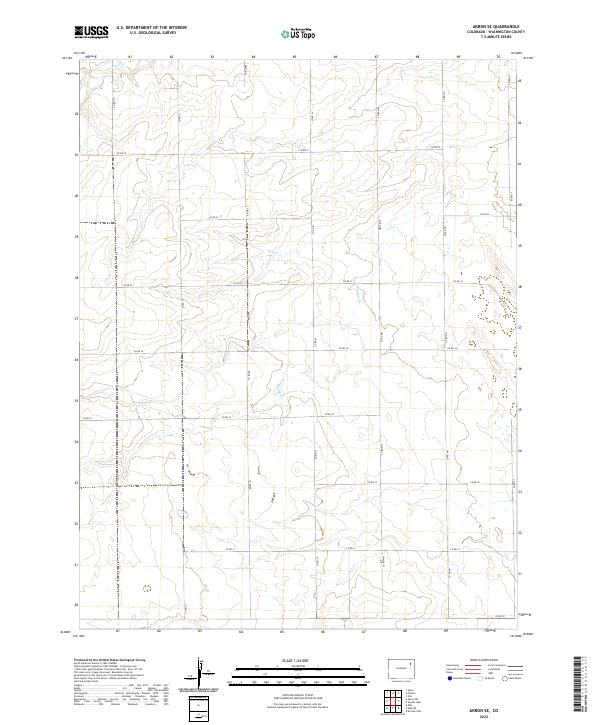
2022 Map of Akron SE
USGS Topo · Published 2022About this map
Bunker Creek and Surveyor Cr drain the high plains of Washington County in this contemporary landscape, where the Jeffersonian grid of the Public Land Survey System is etched into the earth by a network of county roads. The terrain is characterized by the subtle drainage patterns of Hell Cr and several ephemeral watercourses that define the agricultural sections of t1n r51w and t1n r50w. Unlike more densely populated regions, this area maintains a strictly rural character, where the intersection of routes like Co RD 37 and Co RD HH serves as the primary skeleton for movement across the plains. The map provides a clear look at the modern land divisions and water management features essential for sustaining the local high-plains economy.
Find a feature on this map
24 named features on this map. Tap any name to fly to it.
Don’t see what you’re looking for? This feature index may not catch every label — zoom into the map to look around manually.
Map Details
Editions of this 2022 Akron SE Map
This is the sole edition of this map. No revisions or reprints were ever made.
Other maps of this area

1954 · Limon
USGS Topo · 1:250,000

1954 · Sterling
USGS Topo · 1:250,000

1957 · Limon
USGS Topo · 1:250,000

1958 · Limon
USGS Topo · 1:250,000

1958 · Sterling
USGS Topo · 1:250,000

1972 · Otis
USGS Topo · 1:24,000

1972 · Snyder Lake
USGS Topo · 1:24,000

1973 · Akron
USGS Topo · 1:24,000

1973 · Platner
USGS Topo · 1:24,000

1973 · Akron SE
USGS Topo · 1:24,000