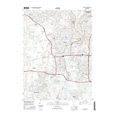
2016 Map of Akron West
USGS Topo · Published 2016About this map
The industrial corridor of the Tuscarawas River and the complex waterways of South Akron define this 2016 survey. The map details a dense urban and suburban landscape, from the commercial centers of Akron and Barberton to the southern reaches of Cuyahoga Valley National Park. Transportation infrastructure is a dominant theme, with the major convergence of Interstate 77, Interstate 76, and Interstate 277 cutting through established neighborhoods like Kenmore and Maple Valley. The map also preserves the footprints of significant local institutions, including the University of Akron and the College of Applied Science and Technology.
Find a feature on this map
68 named features on this map. Tap any name to fly to it.
Don’t see what you’re looking for? This feature index may not catch every label — zoom into the map to look around manually.
Map Details
Editions of this 2016 Akron West Map
This is the sole edition of this map. No revisions or reprints were ever made.
Other maps of this area

1901 · Massillon
USGS Topo · 1:62,500

1901 · Canton
USGS Topo · 1:62,500

1903 · Massillon
USGS Topo · 1:62,500

1903 · Canton
USGS Topo · 1:62,500

1903 · Akron
USGS Topo · 1:62,500

1905 · Akron
USGS Topo · 1:62,500

1906 · Kent
USGS Topo · 1:62,500

1950 · Cleveland
USGS Topo · 1:250,000

1951 · Canton
USGS Topo · 1:250,000

1953 · Canton
USGS Topo · 1:250,000