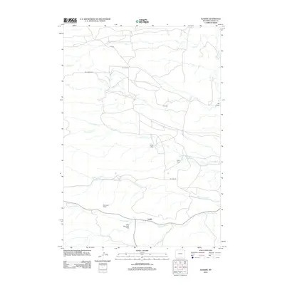
2012 Map of Aladdin
USGS Topo · Published 2012About this map
Aladdin serves as the primary landmark in this corner of Northeast Wyoming, situated where the forks of the Hay Creek drainage converge. The landscape is defined by a network of drainage systems and ridges, including the prominent Coal Land Ridge and Table Mountain Draw. This 2012 survey illustrates a sparsely populated ranching and rural region, with family-named landmarks like Hall Ranch and small communities such as Four Corners and Elk Creek connected by a web of local routes like Mona Road. The map provides detailed tracking of the complex hydrology of the area, from the headwaters of Alum Creek in the north to the distinctive paths of North Fork Hay Creek, Middle Fork Hay Creek, and South Fork Hay Creek. This topographic record is particularly useful for understanding the historic land use and settlement patterns in Crook County at the start of the twenty-first century.
Find a feature on this map
18 named features on this map. Tap any name to fly to it.
Don’t see what you’re looking for? This feature index may not catch every label — zoom into the map to look around manually.
Map Details
Editions of this 2012 Aladdin Map
This is the sole edition of this map. No revisions or reprints were ever made.
Other maps of this area

1901 · Aladdin
USGS Topo · 1:125,000

1903 · Aladdin
USGS Topo · 1:125,000

1954 · The Forks
USGS Topo · 1:24,000

1954 · Gillette
USGS Topo · 1:250,000

1955 · Gillette
USGS Topo · 1:250,000

1957 · Mona
USGS Topo · 1:62,500

1957 · Colony
USGS Topo · 1:62,500

1958 · Gillette
USGS Topo · 1:250,000

1958 · Beulah
USGS Topo · 1:62,500

1962 · Gillette
USGS Topo · 1:250,000