
1957 Map of Colony
USGS Topo · Published 1959About this map
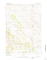
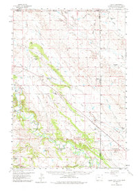
The Belle Fourche River snakes through this high-plains landscape where the borders of Wyoming, Montana, and South Dakota converge. In the late 1950s, the area around Colony served as a specialized industrial corridor, evidenced by the numerous Clay Pits and the Bentonite Spur along the Chicago and North Western rail line. This infrastructure supported the extraction of bentonite clay, a significant local industry that shared the land with long-established cattle operations.
Find a feature on this map
49 named features on this map. Tap any name to fly to it.
Don’t see what you’re looking for? This feature index may not catch every label — zoom into the map to look around manually.
Map Details
Editions of this 1957 Colony Map
3 editions found
Other maps of this area

1901 · Aladdin
USGS Topo · 1:125,000

1903 · Aladdin
USGS Topo · 1:125,000

1905 · Indian
USGS Topo · 1:62,500

1907 · Belle Fourche
USGS Topo · 1:125,000

1907 · Redwater
USGS Topo · 1:62,500

1935 · Harding
USGS Topo · 1:125,000

1953 · Rapid City
USGS Topo · 1:250,000

1954 · The Forks
USGS Topo · 1:24,000

1954 · Lemmon
USGS Topo · 1:250,000

1954 · Ekalaka
USGS Topo · 1:250,000