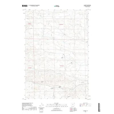
2017 Map of Aladdin
USGS Topo · Published 2017About this map
Aladdin serves as the focal point of this northeast Wyoming landscape, where the drainage systems of the Black Hills foothills create a complex topography of draws and ridges. The settlement sits at the junction of several rural routes including Co RD 65 and Co RD 86, surrounded by the high ground of Coal-Land Ridge and Sandstone Mtn. The hydrology of the area is defined by the three branches of Hay Creek—the N Fork Hay Cr, Middle Fork Hay Cr, and S Fork Hay Cr—which carve through the terrain alongside Oak Cr and Alum Cr. This 2017 survey illustrates a land still defined by its traditional ranching and mining heritage, evidenced by descriptive landmarks like Table Mountain Draw and Akers Canyon Cr that have likely served as local waypoints for generations of Crook County residents.
Find a feature on this map
24 named features on this map. Tap any name to fly to it.
Don’t see what you’re looking for? This feature index may not catch every label — zoom into the map to look around manually.
Map Details
Editions of this 2017 Aladdin Map
This is the sole edition of this map. No revisions or reprints were ever made.
Other maps of this area

1901 · Aladdin
USGS Topo · 1:125,000

1903 · Aladdin
USGS Topo · 1:125,000

1954 · The Forks
USGS Topo · 1:24,000

1954 · Gillette
USGS Topo · 1:250,000

1955 · Gillette
USGS Topo · 1:250,000

1957 · Mona
USGS Topo · 1:62,500

1957 · Colony
USGS Topo · 1:62,500

1958 · Gillette
USGS Topo · 1:250,000

1958 · Beulah
USGS Topo · 1:62,500

1962 · Gillette
USGS Topo · 1:250,000