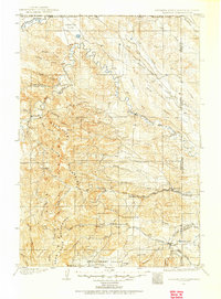
1901 Map of Aladdin
USGS Topo · Published 1954About this map
The Bear Lodge Mountains anchor this high-plains landscape where the corners of Wyoming, South Dakota, and Montana meet. Surveyed at the turn of the century, the region shows a sparse but established ranching and mining economy, punctuated by isolated operations like the Cross Anchor Ranch, VVV Ranch, and T Ranch. The Wyoming and Missouri River R.R. provides a vital transportation link, terminating near Aladdin along the South Fork of Hay Creek.
Find a feature on this map
58 named features on this map. Tap any name to fly to it.
Don’t see what you’re looking for? This feature index may not catch every label — zoom into the map to look around manually.
Map Details
Editions of this 1901 Aladdin Map
This is the sole edition of this map. No revisions or reprints were ever made.
Other maps of this area
1894 · Deadwood
USGS Topo · 1:125,000
1898 · Sundance
USGS Topo · 1:125,000
1900 · Spearfish
USGS Topo · 1:62,500
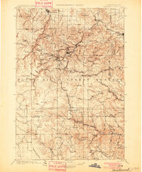
1901 · Deadwood
USGS Topo · 1:125,000
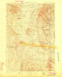
1902 · Sundance
USGS Topo · 1:125,000
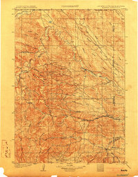
1903 · Aladdin
USGS Topo · 1:125,000
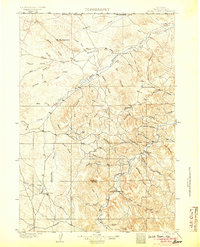
1905 · Devils Tower
USGS Topo · 1:125,000
1905 · Indian
USGS Topo · 1:62,500
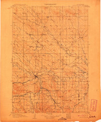
1907 · Belle Fourche
USGS Topo · 1:125,000
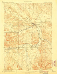
1907 · Redwater
USGS Topo · 1:62,500