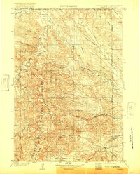
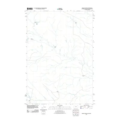
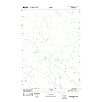
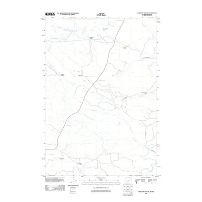
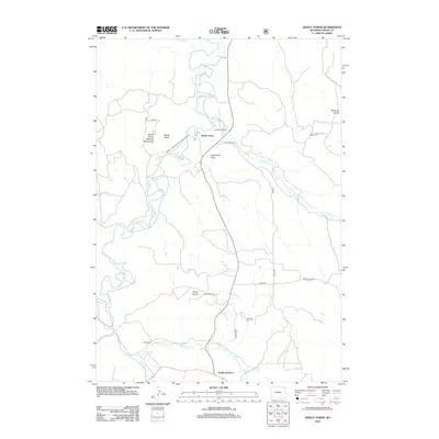
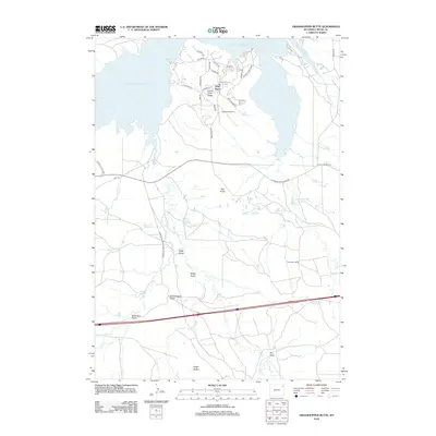
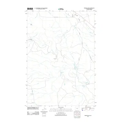
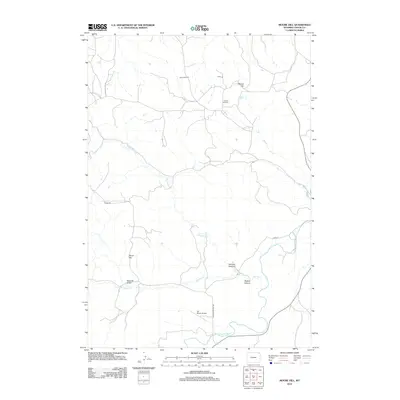
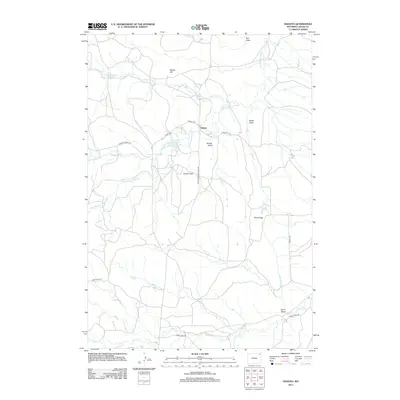
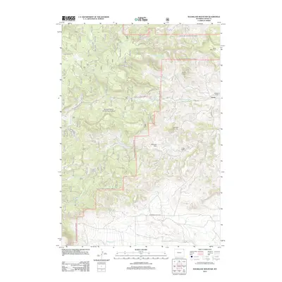
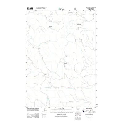
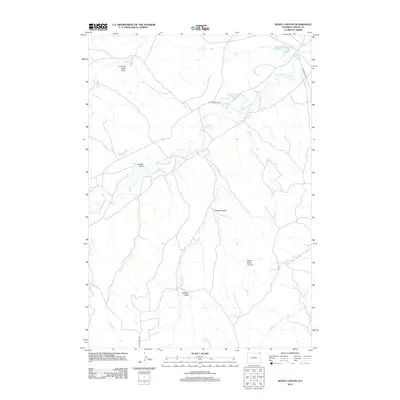
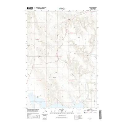
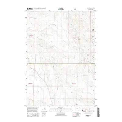
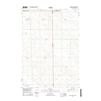
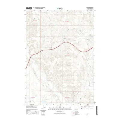
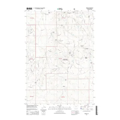
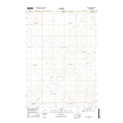
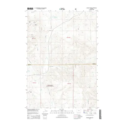
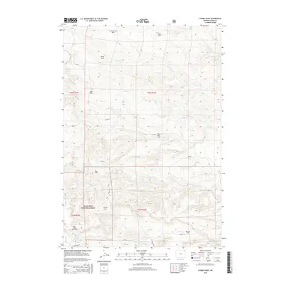
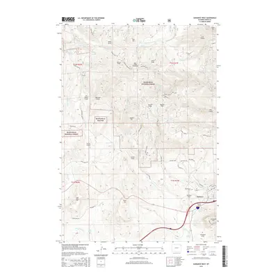
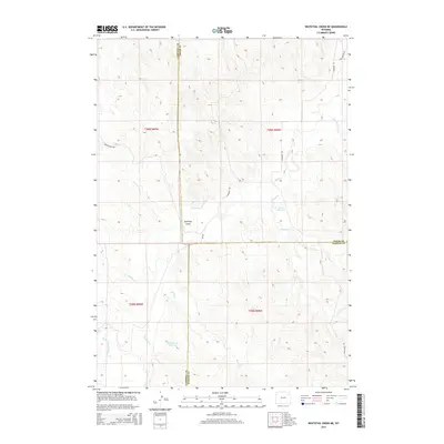
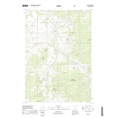
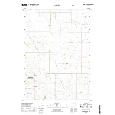
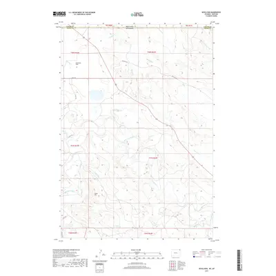
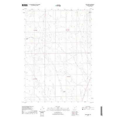
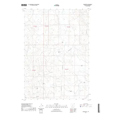
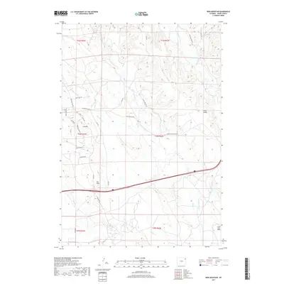
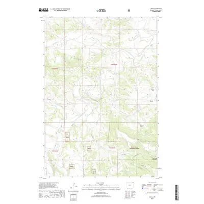
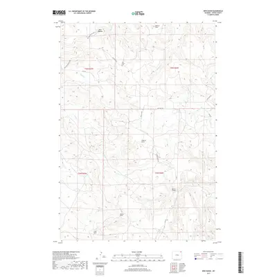
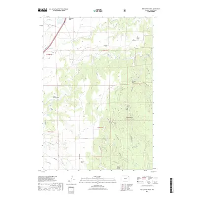
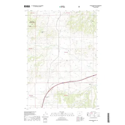
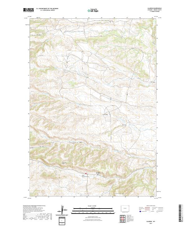
1903 Map of Aladdin
USGS Topo · Published 1920About this map
The Black Hills National Forest dominates this early twentieth-century survey of northeastern Wyoming, where the Bear Lodge Mountains rise sharply above the high plains. This is a landscape defined by its rugged drainages and established cattle interests, including the Cross Anchor Ranch and VVV Ranch. The region's early industrial ambitions are evidenced by the Wyoming and Missouri River R. R., which follows the Hay Creek drainage to the settlement of Aladdin.
Find a feature on this map
50 named features on this map. Tap any name to fly to it.
Don’t see what you’re looking for? This feature index may not catch every label — zoom into the map to look around manually.
Map Details
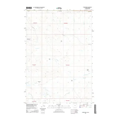
Editions of this 1903 Aladdin Map
3 editions found

Historical Maps of Beulah Through Time
305 maps found

1901 Aladdin
Crook County, WY

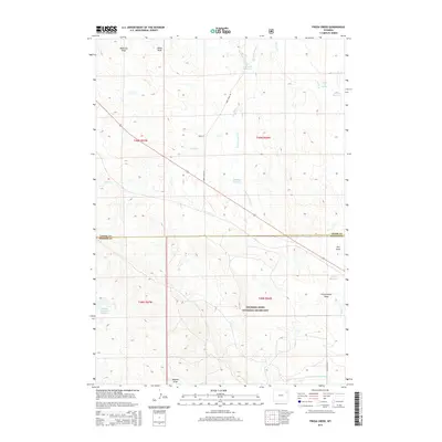
1903 Aladdin
Crook County, WY

1905 Devils Tower
Crook County, WY

1954 Carlile
Crook County, WY

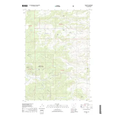
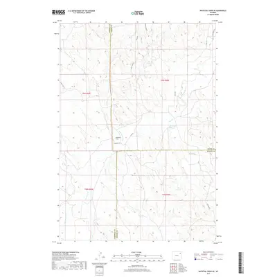
1954 Missouri Buttes
Crook County, WY

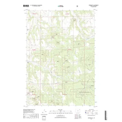
1954 Storm Hill
Crook County, WY

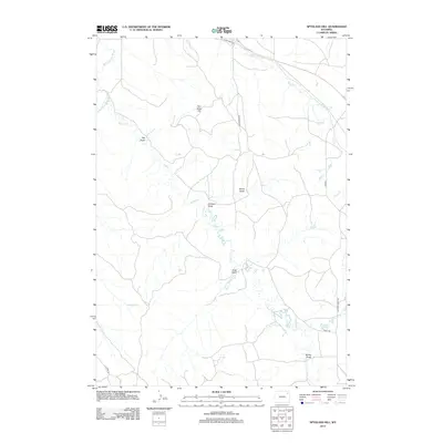
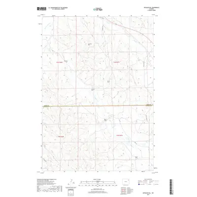
1954 Strawberry Hill
Crook County, WY

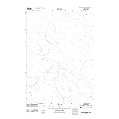
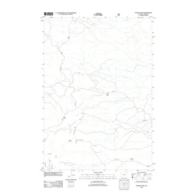
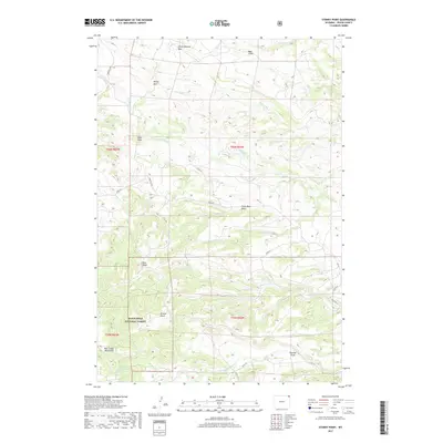
1954 Sunny Divide
Crook County, WY

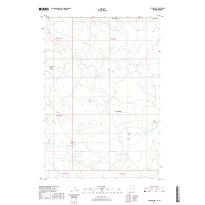
1954 The Forks
Crook County, WY

1955 Devils Tower
Crook County, WY

1957 Cedar Ridge
Crook County, WY

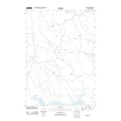
1957 Colony
Crook County, WY

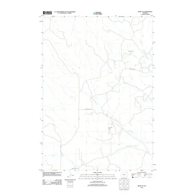
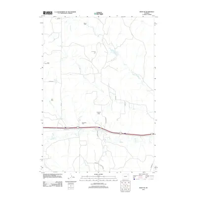
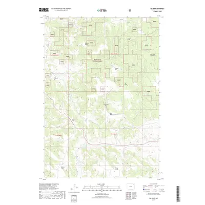
1957 Mona
Crook County, WY

1957 Nefsy Divide
Crook County, WY

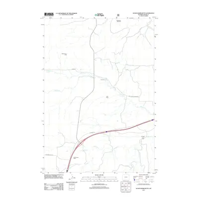
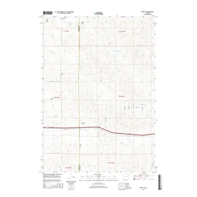
1957 Oshoto
Crook County, WY

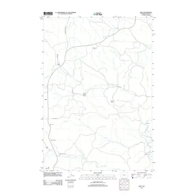
1957 Seely
Crook County, WY

1958 Tinton
Crook County, WY

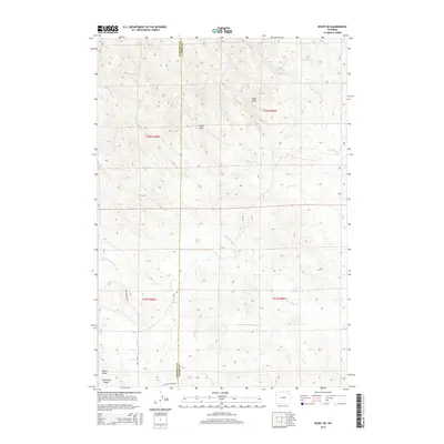
1971 Rozet NE
Crook County, WY

1971 Rozet SE
Crook County, WY

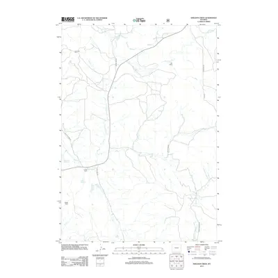
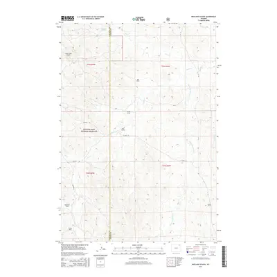
1971 Whitetail Creek NE
Crook County, WY

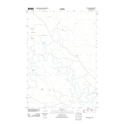
1972 Bonnie Reservoir
Crook County, WY

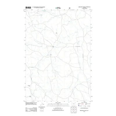
1972 Brislawn School
Crook County, WY

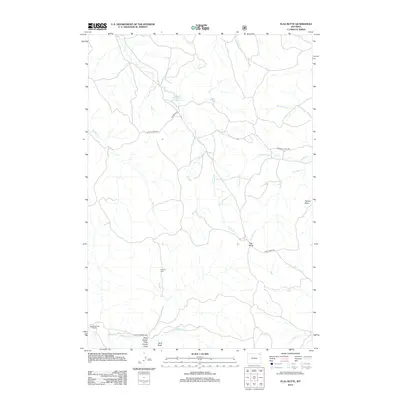
1972 Flag Butte
Crook County, WY

1972 Rockypoint
Crook County, WY

1979 Devils Tower
Crook County, WY

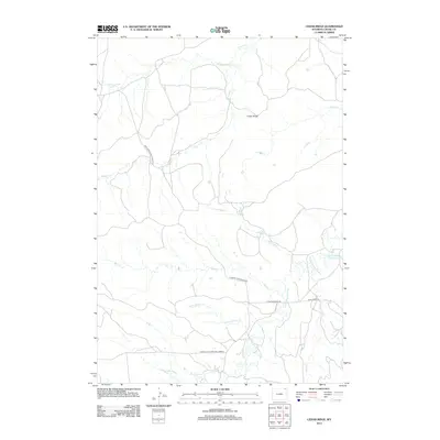
1982 Freda Creek
Crook County, WY

1982 Spyglass Hill
Crook County, WY

1984 Aladdin
Crook County, WY

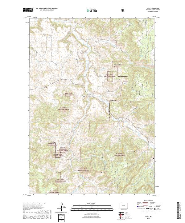
1984 Alva
Crook County, WY

1984 Antelope Gulch
Crook County, WY

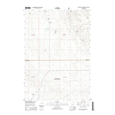
1984 Arrowhead Reservoir
Crook County, WY

1984 Black Hills
Crook County, WY

1984 Carlile
Crook County, WY

1984 Cedar Ridge
Crook County, WY

1984 Devils Run
Crook County, WY

1984 Devils Tower
Crook County, WY

1984 Dry Draw
Crook County, WY

1984 Duling Hill
Crook County, WY

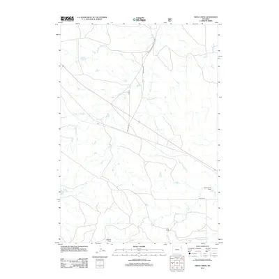
1984 Edith Creek
Crook County, WY

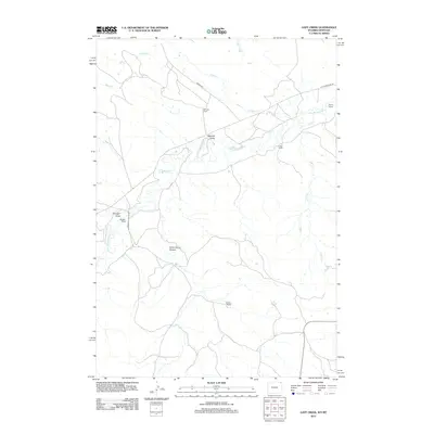
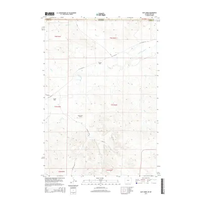
1984 Gaff Creek
Crook County, WY

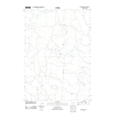
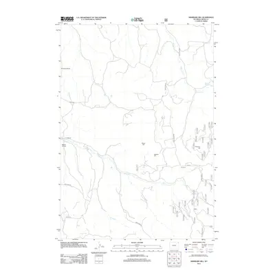
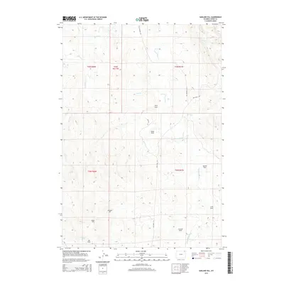
1984 Garland Hill
Crook County, WY

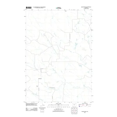
1984 Grasshopper Butte
Crook County, WY

1984 Gravel Draw
Crook County, WY

1984 Inyan Kara Mountain
Crook County, WY

1984 Iron Mountain
Crook County, WY

1984 Kruger Lake
Crook County, WY

1984 Linden
Crook County, WY

1984 Middle Creek Butte
Crook County, WY

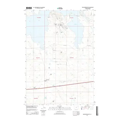
1984 Missouri Buttes
Crook County, WY

1984 Mona
Crook County, WY

1984 Moore Hill
Crook County, WY

1984 Moskee
Crook County, WY

1984 Moulton Creek
Crook County, WY

1984 New Haven
Crook County, WY

1984 Oshoto
Crook County, WY

1984 Page Draw
Crook County, WY

1984 Pfeiffer Hill
Crook County, WY

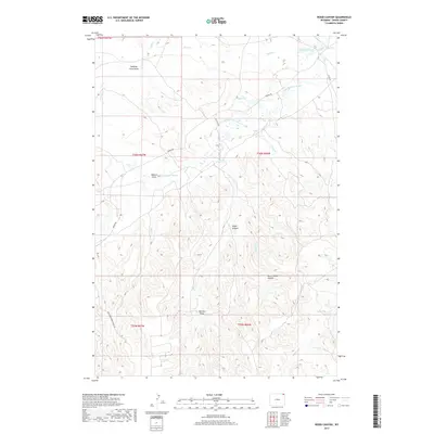
1984 Red Canyon Creek
Crook County, WY

1984 Schoolmarm Butte
Crook County, WY

1984 Seely
Crook County, WY

1984 Sheldon Creek
Crook County, WY

1984 Shepard Reservoir
Crook County, WY

1984 Sherrard Hill
Crook County, WY

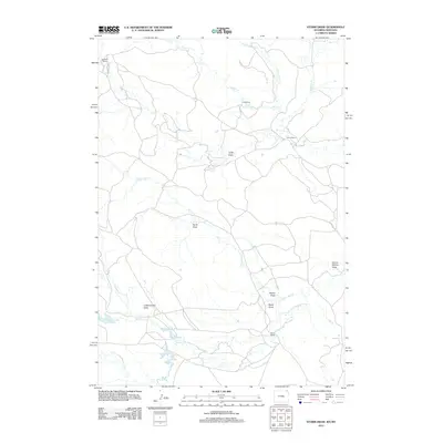
1984 Stoney Point
Crook County, WY

1984 Storm Draw
Crook County, WY

1984 Strawberry Hill
Crook County, WY

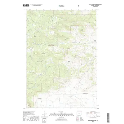
1984 Sugarloaf Mountain
Crook County, WY

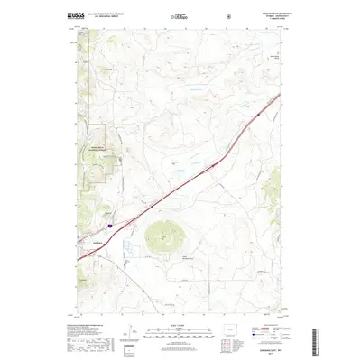
1984 Sundance East
Crook County, WY

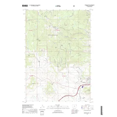
1984 Sundance West
Crook County, WY

1984 The Notch
Crook County, WY

1984 The Rocks
Crook County, WY

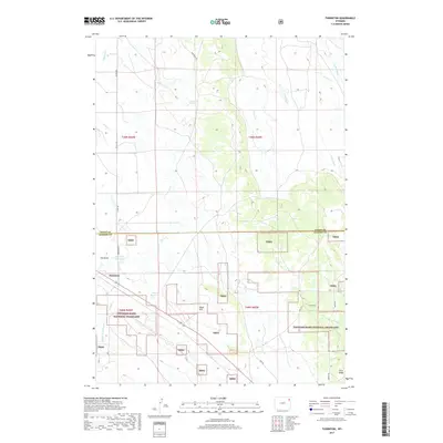
1984 Thornton
Crook County, WY

1984 Tinton
Crook County, WY

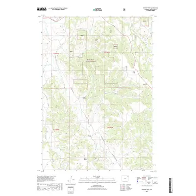
1984 Wonder View
Crook County, WY

1984 Wood Canyon
Crook County, WY
2011 Antelope Gulch
Crook County, WY
2011 Devils Run
Crook County, WY
2011 Gaff Creek
Crook County, WY
2011 Gravel Draw
Crook County, WY
2011 Moulton Creek
Crook County, WY
2011 Page Draw
Crook County, WY
2011 Rockypoint
Crook County, WY
2011 Shepard Reservoir
Crook County, WY
2011 Storm Draw
Crook County, WY
2012 Aladdin
Crook County, WY
2012 Alva
Crook County, WY
2012 Antelope Gulch
Crook County, WY
2012 Arrowhead Reservoir
Crook County, WY
2012 Black Hills
Crook County, WY
2012 Bonnie Reservoir
Crook County, WY
2012 Brislawn School
Crook County, WY
2012 Carlile
Crook County, WY
2012 Cedar Ridge
Crook County, WY
2012 Devils Run
Crook County, WY
2012 Devils Tower
Crook County, WY
2012 Dry Draw
Crook County, WY
2012 Duling Hill
Crook County, WY
2012 Edith Creek
Crook County, WY
2012 Flag Butte
Crook County, WY
2012 Freda Creek
Crook County, WY
2012 Gaff Creek
Crook County, WY
2012 Garland Hill
Crook County, WY
2012 Grasshopper Butte
Crook County, WY
2012 Gravel Draw
Crook County, WY
2012 Inyan Kara Mountain
Crook County, WY
2012 Iron Mountain
Crook County, WY
2012 Kruger Lake
Crook County, WY
2012 Linden
Crook County, WY
2012 Missouri Buttes
Crook County, WY
2012 Mona
Crook County, WY
2012 Moore Hill
Crook County, WY
2012 Moskee
Crook County, WY
2012 Moulton Creek
Crook County, WY
2012 New Haven
Crook County, WY
2012 Oshoto
Crook County, WY
2012 Page Draw
Crook County, WY
2012 Pfeiffer Hill
Crook County, WY
2012 Red Canyon Creek
Crook County, WY
2012 Rockypoint
Crook County, WY
2012 Rozet NE
Crook County, WY
2012 Rozet SE
Crook County, WY
2012 Schoolmarm Butte
Crook County, WY
2012 Seely
Crook County, WY
2012 Sheldon Creek
Crook County, WY
2012 Shepard Reservoir
Crook County, WY
2012 Sherrard Hill
Crook County, WY
2012 Spyglass Hill
Crook County, WY
2012 Stoney Point
Crook County, WY
2012 Storm Draw
Crook County, WY
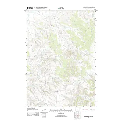
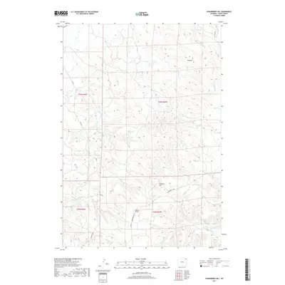
2012 Strawberry Hill
Crook County, WY
2012 Sugarloaf Mountain
Crook County, WY
2012 Sundance East
Crook County, WY
2012 Sundance West
Crook County, WY
2012 The Notch
Crook County, WY
2012 The Rocks
Crook County, WY
2012 Thornton
Crook County, WY
2012 Whitetail Creek NE
Crook County, WY
2012 Wonder View
Crook County, WY
2012 Wood Canyon
Crook County, WY
2015 Aladdin
Crook County, WY
2015 Alva
Crook County, WY
2015 Antelope Gulch
Crook County, WY
2015 Arrowhead Reservoir
Crook County, WY
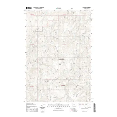
2015 Black Hills
Crook County, WY
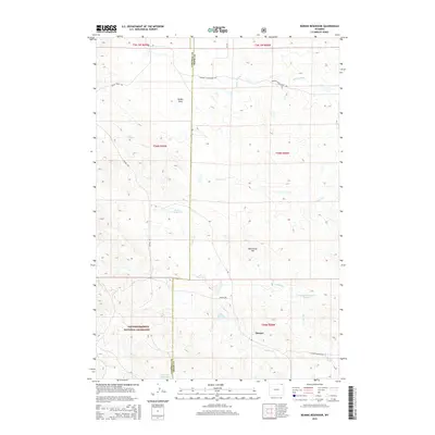
2015 Bonnie Reservoir
Crook County, WY
2015 Brislawn School
Crook County, WY
2015 Carlile
Crook County, WY
2015 Cedar Ridge
Crook County, WY
2015 Devils Run
Crook County, WY
2015 Devils Tower
Crook County, WY
2015 Dry Draw
Crook County, WY
2015 Duling Hill
Crook County, WY
2015 Edith Creek
Crook County, WY
2015 Flag Butte
Crook County, WY
2015 Freda Creek
Crook County, WY
2015 Gaff Creek
Crook County, WY
2015 Garland Hill
Crook County, WY
2015 Grasshopper Butte
Crook County, WY
2015 Gravel Draw
Crook County, WY
2015 Inyan Kara Mountain
Crook County, WY
2015 Iron Mountain
Crook County, WY
2015 Kruger Lake
Crook County, WY
2015 Linden
Crook County, WY
2015 Missouri Buttes
Crook County, WY
2015 Mona
Crook County, WY
2015 Moore Hill
Crook County, WY
2015 Moskee
Crook County, WY
2015 Moulton Creek
Crook County, WY
2015 New Haven
Crook County, WY
2015 Oshoto
Crook County, WY
2015 Page Draw
Crook County, WY
2015 Pfeiffer Hill
Crook County, WY
2015 Red Canyon Creek
Crook County, WY
2015 Rockypoint
Crook County, WY
2015 Rozet NE
Crook County, WY
2015 Rozet SE
Crook County, WY
2015 Schoolmarm Butte
Crook County, WY
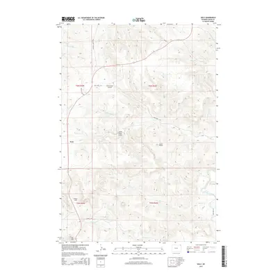
2015 Seely
Crook County, WY
2015 Sheldon Creek
Crook County, WY
2015 Shepard Reservoir
Crook County, WY
2015 Sherrard Hill
Crook County, WY
2015 Spyglass Hill
Crook County, WY
2015 Stoney Point
Crook County, WY
2015 Storm Draw
Crook County, WY
2015 Strawberry Hill
Crook County, WY
2015 Sugarloaf Mountain
Crook County, WY

2015 Sundance East
Crook County, WY
2015 Sundance West
Crook County, WY
2015 The Notch
Crook County, WY
2015 The Rocks
Crook County, WY
2015 Thornton
Crook County, WY
2015 Whitetail Creek NE
Crook County, WY
2015 Wonder View
Crook County, WY
2015 Wood Canyon
Crook County, WY
2017 Aladdin
Crook County, WY
2017 Alva
Crook County, WY
2017 Antelope Gulch
Crook County, WY
2017 Arrowhead Reservoir
Crook County, WY
2017 Black Hills
Crook County, WY
2017 Bonnie Reservoir
Crook County, WY
2017 Brislawn School
Crook County, WY
2017 Carlile
Crook County, WY
2017 Cedar Ridge
Crook County, WY
2017 Devils Run
Crook County, WY
2017 Devils Tower
Crook County, WY
2017 Dry Draw
Crook County, WY
2017 Duling Hill
Crook County, WY
2017 Edith Creek
Crook County, WY
2017 Flag Butte
Crook County, WY
2017 Freda Creek
Crook County, WY
2017 Gaff Creek
Crook County, WY
2017 Garland Hill
Crook County, WY
2017 Grasshopper Butte
Crook County, WY
2017 Gravel Draw
Crook County, WY
2017 Inyan Kara Mountain
Crook County, WY
2017 Iron Mountain
Crook County, WY
2017 Kruger Lake
Crook County, WY
2017 Linden
Crook County, WY
2017 Missouri Buttes
Crook County, WY
2017 Mona
Crook County, WY
2017 Moore Hill
Crook County, WY
2017 Moskee
Crook County, WY
2017 Moulton Creek
Crook County, WY
2017 New Haven
Crook County, WY
2017 Oshoto
Crook County, WY
2017 Page Draw
Crook County, WY
2017 Pfeiffer Hill
Crook County, WY
2017 Red Canyon Creek
Crook County, WY
2017 Rockypoint
Crook County, WY
2017 Rozet NE
Crook County, WY
2017 Rozet SE
Crook County, WY
2017 Schoolmarm Butte
Crook County, WY
2017 Seely
Crook County, WY
2017 Sheldon Creek
Crook County, WY
2017 Shepard Reservoir
Crook County, WY
2017 Sherrard Hill
Crook County, WY
2017 Spyglass Hill
Crook County, WY
2017 Stoney Point
Crook County, WY
2017 Storm Draw
Crook County, WY
2017 Strawberry Hill
Crook County, WY
2017 Sugarloaf Mountain
Crook County, WY
2017 Sundance East
Crook County, WY
2017 Sundance West
Crook County, WY
2017 The Notch
Crook County, WY
2017 The Rocks
Crook County, WY
2017 Thornton
Crook County, WY
2017 Whitetail Creek NE
Crook County, WY
2017 Wonder View
Crook County, WY
2017 Wood Canyon
Crook County, WY
2021 Aladdin
Crook County, WY
2021 Alva
Crook County, WY

2021 Antelope Gulch
Crook County, WY
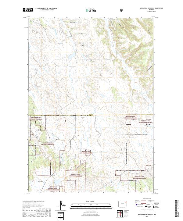
2021 Arrowhead Reservoir
Crook County, WY
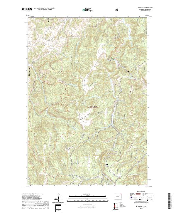
2021 Black Hills
Crook County, WY

2021 Bonnie Reservoir
Crook County, WY
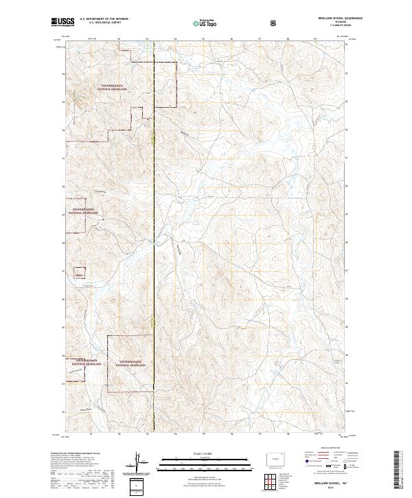
2021 Brislawn School
Crook County, WY

2021 Carlile
Crook County, WY

2021 Cedar Ridge
Crook County, WY
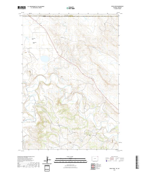
2021 Devils Run
Crook County, WY

2021 Devils Tower
Crook County, WY

2021 Dry Draw
Crook County, WY
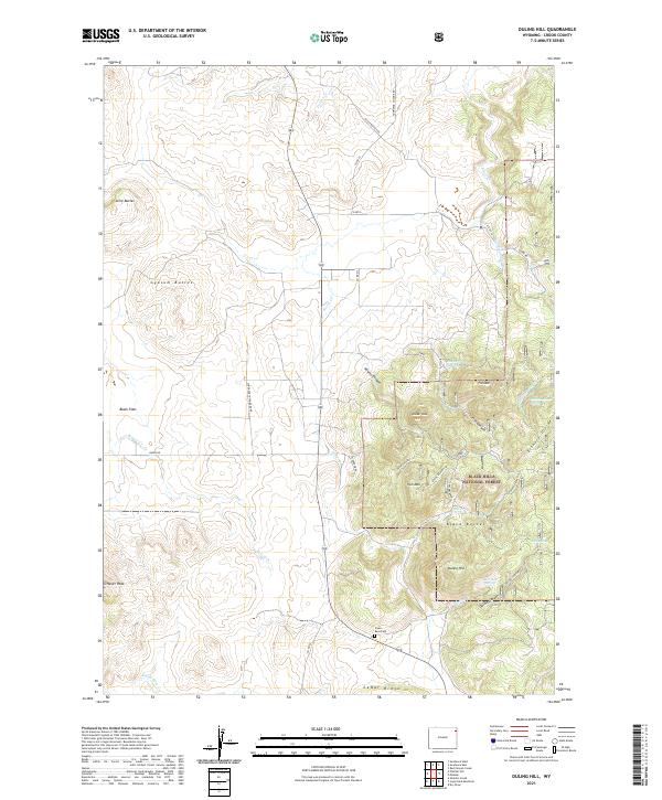
2021 Duling Hill
Crook County, WY

2021 Edith Creek
Crook County, WY
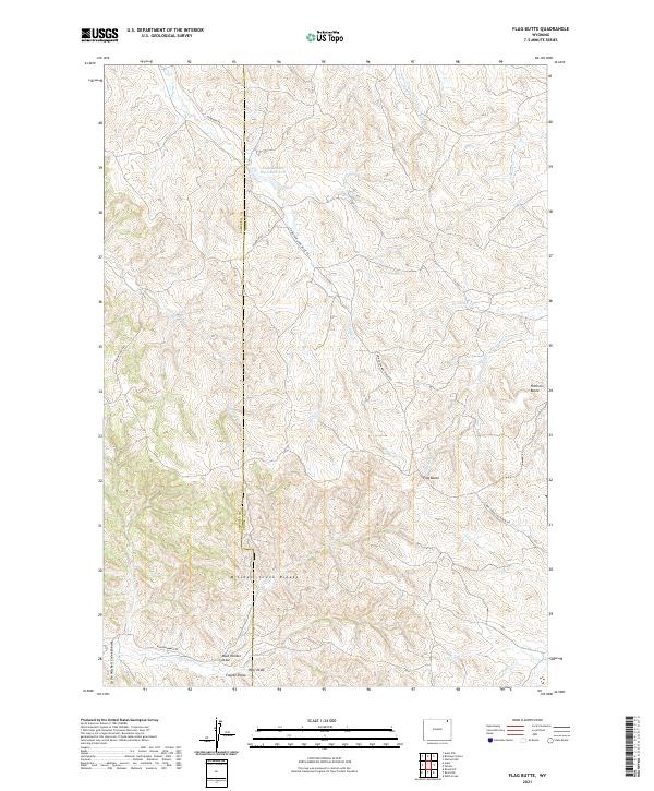
2021 Flag Butte
Crook County, WY
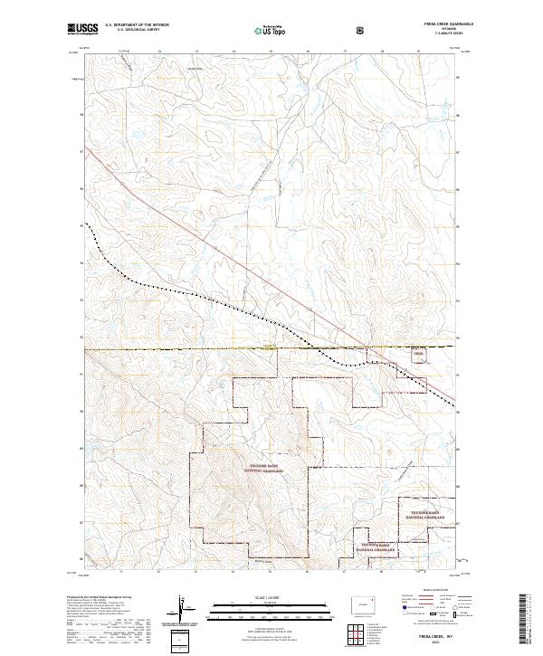
2021 Freda Creek
Crook County, WY
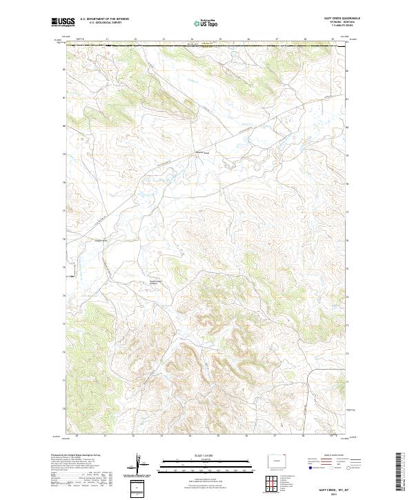
2021 Gaff Creek
Crook County, WY

2021 Garland Hill
Crook County, WY

2021 Grasshopper Butte
Crook County, WY
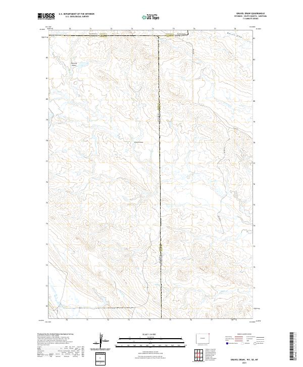
2021 Gravel Draw
Crook County, WY
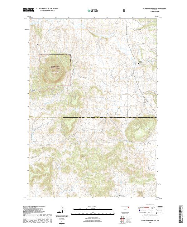
2021 Inyan Kara Mountain
Crook County, WY

2021 Iron Mountain
Crook County, WY

2021 Kruger Lake
Crook County, WY

2021 Linden
Crook County, WY

2021 Missouri Buttes
Crook County, WY
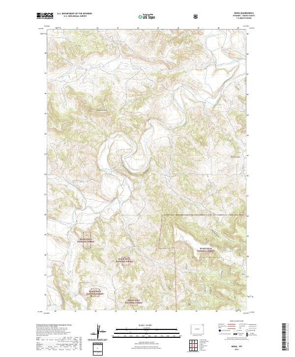
2021 Mona
Crook County, WY
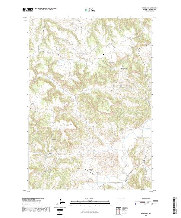
2021 Moore Hill
Crook County, WY
2021 Moskee
Crook County, WY

2021 Moulton Creek
Crook County, WY

2021 New Haven
Crook County, WY
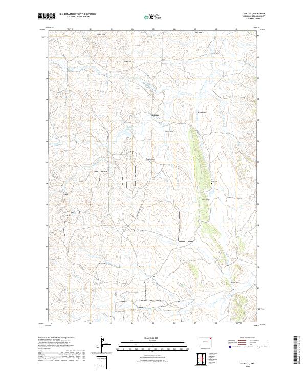
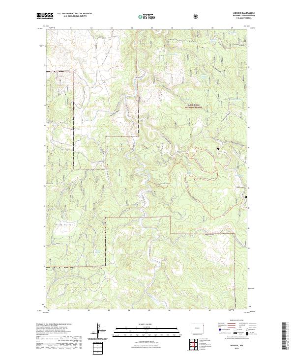
2021 Oshoto
Crook County, WY
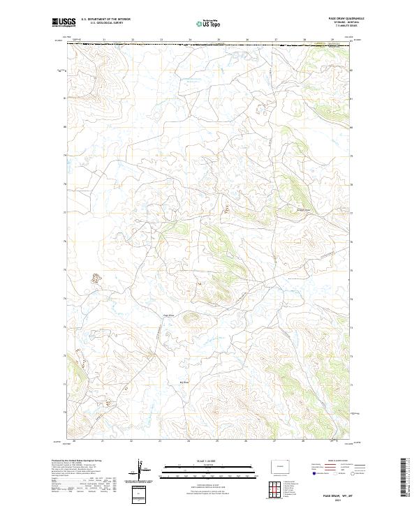
2021 Page Draw
Crook County, WY
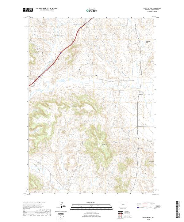
2021 Pfeiffer Hill
Crook County, WY
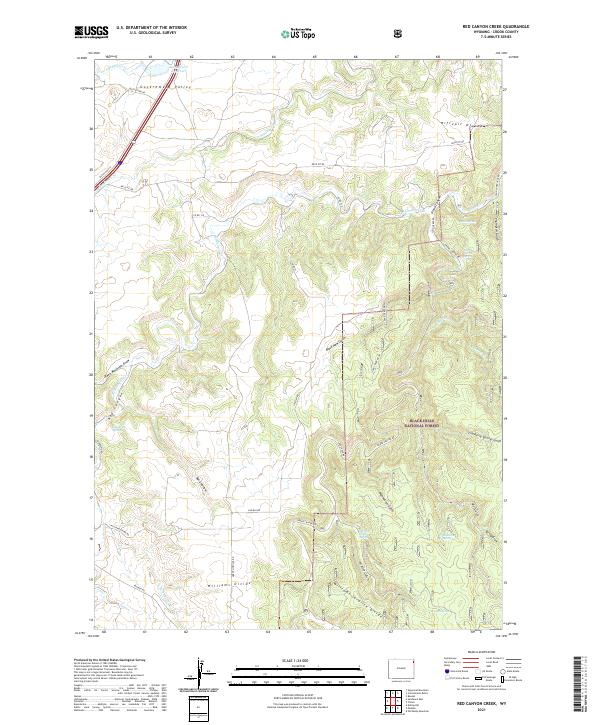
2021 Red Canyon Creek
Crook County, WY

2021 Rockypoint
Crook County, WY

2021 Rozet NE
Crook County, WY

2021 Rozet SE
Crook County, WY
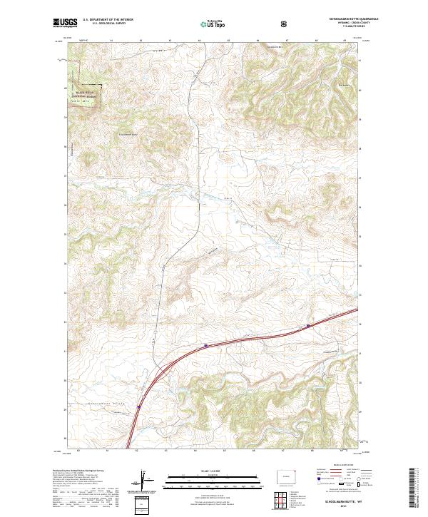
2021 Schoolmarm Butte
Crook County, WY
2021 Seely
Crook County, WY

2021 Sheldon Creek
Crook County, WY
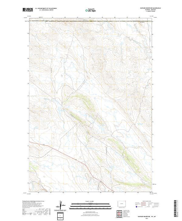
2021 Shepard Reservoir
Crook County, WY
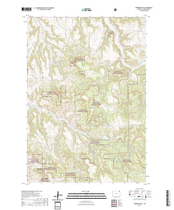
2021 Sherrard Hill
Crook County, WY

2021 Spyglass Hill
Crook County, WY
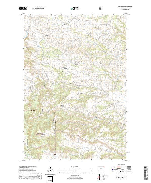
2021 Stoney Point
Crook County, WY

2021 Storm Draw
Crook County, WY

2021 Strawberry Hill
Crook County, WY

2021 Sugarloaf Mountain
Crook County, WY

2021 Sundance East
Crook County, WY

2021 Sundance West
Crook County, WY
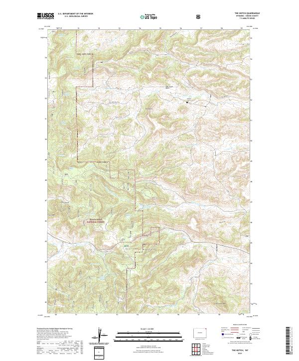
2021 The Notch
Crook County, WY
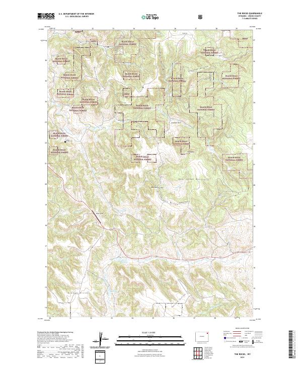
2021 The Rocks
Crook County, WY
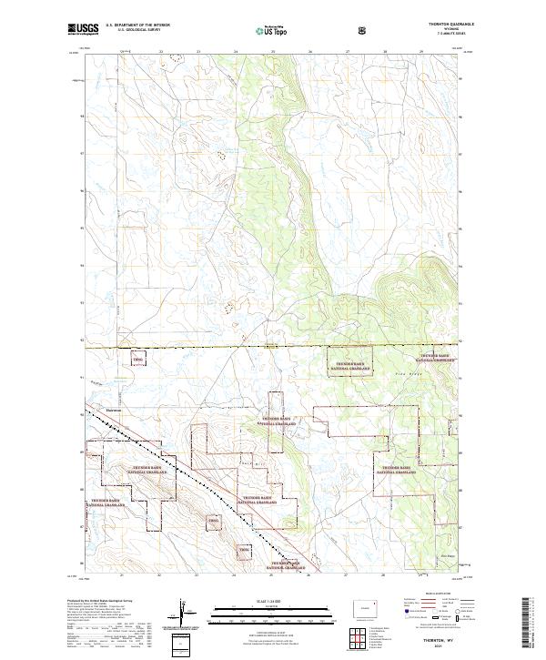
2021 Thornton
Crook County, WY

2021 Whitetail Creek NE
Crook County, WY
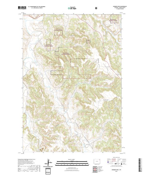
2021 Wonder View
Crook County, WY
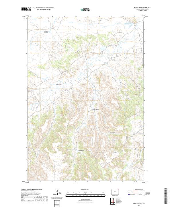
2021 Wood Canyon
Crook County, WY

2023 Seely
Crook County, WY