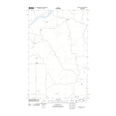
2011 Map of Alameda Flat
USGS Topo · Published 2011About this map
Alameda Flat and the surrounding plateau of Douglas County are defined here by the deep incisions of the Columbia River and its tributary drainage systems. This 2011 survey captures the rural landscape at a time when the agricultural and ranching legacy of the region remains visible through names like Osborne Corner and the Rex School. The topography is marked by significant natural landmarks, including the prominent Wilson Butte and the unique formation of Balloon Rock near the head of Buck Canyon.
Find a feature on this map
23 named features on this map. Tap any name to fly to it.
Don’t see what you’re looking for? This feature index may not catch every label — zoom into the map to look around manually.
Map Details
Editions of this 2011 Alameda Flat Map
This is the sole edition of this map. No revisions or reprints were ever made.
Other maps of this area

1950 · Boot Mtn
USGS Topo · 1:62,500

1950 · Alameda Flat
USGS Topo · 1:62,500

1952 · Alameda Flat
USGS Topo · 1:62,500

1953 · Ritzville
USGS Topo · 1:250,000

1954 · Okanogan
USGS Topo · 1:250,000

1958 · Okanogan
USGS Topo · 1:250,000

1959 · Ritzville
USGS Topo · 1:250,000

1965 · Ritzville
USGS Topo · 1:250,000

1968 · Barker Canyon
USGS Topo · 1:24,000

1968 · Foster Coulee
USGS Topo · 1:24,000