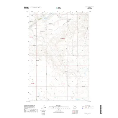
2020 Map of Alameda Flat
USGS Topo · Published 2020About this map
Rufus Woods Lake defines the northern edge of this high-plateau landscape, where the Okanogan County and Douglas County border meets at the water's edge. The terrain is a complex series of benches and coulees, including the prominent Alameda Flat and Saddle Horse Flat. These levels are broken by deep drainages like Strahl Canyon and Buck Canyon, which lead toward the river. Historical markers and geographic points of interest such as Balloon Rock and Wilson Butte dot the southern reaches, while McCabe Oil indicates contemporary industrial activity in this agricultural region. The network of section-line roads, including Alameda Flats Rd and China Creek Rd, provides a clear view of the rural settlement patterns and property divisions at the turn of the decade.
Find a feature on this map
37 named features on this map. Tap any name to fly to it.
Don’t see what you’re looking for? This feature index may not catch every label — zoom into the map to look around manually.
Map Details
Editions of this 2020 Alameda Flat Map
This is the sole edition of this map. No revisions or reprints were ever made.
Other maps of this area

1950 · Boot Mtn
USGS Topo · 1:62,500

1950 · Alameda Flat
USGS Topo · 1:62,500

1952 · Alameda Flat
USGS Topo · 1:62,500

1953 · Ritzville
USGS Topo · 1:250,000

1954 · Okanogan
USGS Topo · 1:250,000

1958 · Okanogan
USGS Topo · 1:250,000

1959 · Ritzville
USGS Topo · 1:250,000

1965 · Ritzville
USGS Topo · 1:250,000

1968 · Barker Canyon
USGS Topo · 1:24,000

1968 · Foster Coulee
USGS Topo · 1:24,000