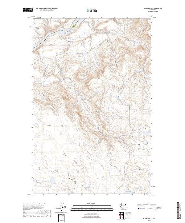
2023 Map of Alameda Flat
USGS Topo · Published 2023About this map
Rufus Woods Lake dominates the northern border of this Douglas County landscape, marking the winding path of the Columbia River where the boundary meets Okanogan County. The terrain is defined by a series of high benches and deep drainage systems, notably the expansive Alameda Flat and the neighboring Saddle Horse Flat. These tablelands are punctuated by dramatic relief from Buck Canyon and the branching reaches of Strahl Canyon. Small, high-altitude water bodies such as Rattlesnake Lake and Wilson Lake are scattered across the southern interior, sitting in the shadow of Wilson Butte. The map reveals a network of local roads such as Alameda Flats Rd and China Creek Rex Rd that follow the natural contours of the ridges and coulees, illustrating the remote agricultural and ranching layout of this high-desert region.
Find a feature on this map
33 named features on this map. Tap any name to fly to it.
Don’t see what you’re looking for? This feature index may not catch every label — zoom into the map to look around manually.
Map Details
Editions of this 2023 Alameda Flat Map
This is the sole edition of this map. No revisions or reprints were ever made.
Other maps of this area

1950 · Boot Mtn
USGS Topo · 1:62,500

1950 · Alameda Flat
USGS Topo · 1:62,500

1952 · Alameda Flat
USGS Topo · 1:62,500

1953 · Ritzville
USGS Topo · 1:250,000

1954 · Okanogan
USGS Topo · 1:250,000

1958 · Okanogan
USGS Topo · 1:250,000

1959 · Ritzville
USGS Topo · 1:250,000

1965 · Ritzville
USGS Topo · 1:250,000

1968 · Barker Canyon
USGS Topo · 1:24,000

1968 · Foster Coulee
USGS Topo · 1:24,000