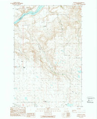
1989 Map of Alameda Flat
USGS Topo · Published 1989About this map
The Colville Indian Reservation marks the northern boundary of this high-plateau landscape, where the Columbia River Lake Rufus Woods flows along the county line between Okanogan and Douglas. The terrain is defined by broad tablelands like Alameda Flat and Saddle Horse Flat, which are sharply interrupted by deep drainages including Strahl Canyon and Buck Canyon.
Find a feature on this map
18 named features on this map. Tap any name to fly to it.
Don’t see what you’re looking for? This feature index may not catch every label — zoom into the map to look around manually.
Map Details
Editions of this 1989 Alameda Flat Map
2 editions found
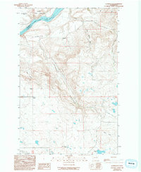
Other maps of this area

1950 · Boot Mtn
USGS Topo · 1:62,500

1950 · Alameda Flat
USGS Topo · 1:62,500

1952 · Alameda Flat
USGS Topo · 1:62,500

1953 · Ritzville
USGS Topo · 1:250,000

1954 · Okanogan
USGS Topo · 1:250,000

1958 · Okanogan
USGS Topo · 1:250,000

1959 · Ritzville
USGS Topo · 1:250,000

1965 · Ritzville
USGS Topo · 1:250,000

1968 · Barker Canyon
USGS Topo · 1:24,000

1968 · Foster Coulee
USGS Topo · 1:24,000