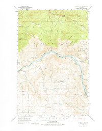
1950 Map of Alameda Flat
USGS Topo · Published 1975About this map
The Columbia River carves a deep path through this mid-century landscape, separating Okanogan Co from Douglas County and defining the southern boundary of the Colville Indian Reservation. High above the river, the plateau is marked by a scattering of rural community centers like Alameda and Osborne Corner, alongside the Rex Grange Hall. The transition from river to high range is steep, rising through Bissell Flat and Alameda Flat toward peaks such as Whitmore Mtn.
Find a feature on this map
67 named features on this map. Tap any name to fly to it.
Don’t see what you’re looking for? This feature index may not catch every label — zoom into the map to look around manually.
Map Details
Editions of this 1950 Alameda Flat Map
2 editions found
Other maps of this area

1948 · Grand Coulee Dam
USGS Topo · 1:62,500

1950 · Grand Coulee Dam
USGS Topo · 1:62,500

1950 · Nespelem
USGS Topo · 1:62,500

1950 · Boot Mtn
USGS Topo · 1:62,500

1950 · Alameda Flat
USGS Topo · 1:62,500

1952 · Alameda Flat
USGS Topo · 1:62,500

1952 · Disautel
USGS Topo · 1:62,500

1953 · Bald Knob
USGS Topo · 1:62,500

1953 · Omak Lake
USGS Topo · 1:62,500

1953 · Ritzville
USGS Topo · 1:250,000