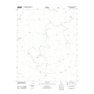
2012 Map of Alamo Mountain
USGS Topo · Published 2012About this map
Alamo Mountain and Snowy Peak dominate this high-altitude landscape in the southern Los Padres National Forest region. The 2012 survey shows a network of forest service routes, including Gold Hill Rd and Forest Rte 8N01, threading through steep drainages like Piru Cr and Frazier Cr. Historically significant sites such as Harris Mill and the Schmidt Ranch point to the area's legacy of timber processing and ranching, while Baker Cabin remains a lonely outpost in the backcountry.
Find a feature on this map
45 named features on this map. Tap any name to fly to it.
Don’t see what you’re looking for? This feature index may not catch every label — zoom into the map to look around manually.
Map Details
Editions of this 2012 Alamo Mountain Map
This is the sole edition of this map. No revisions or reprints were ever made.
Other maps of this area

1903 · Mt. Pinos
USGS Topo · 1:125,000

1903 · Tejon
USGS Topo · 1:125,000

1933 · Gorman
USGS Topo · 1:24,000

1938 · Gorman
USGS Topo · 1:24,000

1938 · Black Mountain
USGS Topo · 1:24,000

1942 · Frazier Mountain
USGS Topo · 1:24,000

1943 · Topatopa Mountains
USGS Topo · 1:24,000

1943 · Cuddy Valley
USGS Topo · 1:24,000

1943 · Lockwood Valley
USGS Topo · 1:24,000
1943 · Devils Heart Peak
USGS Topo · 1:24,000