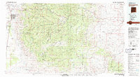
1979 Map of Alamogordo
USGS Topo · Published 1979About this map
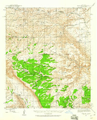
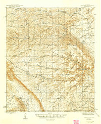
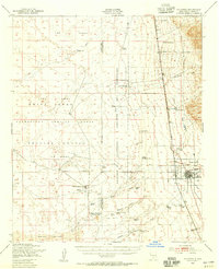
The Sacramento Mountains dominate this 1979 survey, showing the dramatic transition from the high peaks of the Lincoln National Forest down to the arid expanse of the Tularosa Valley. The city of Alamogordo is shown at the mountain base, positioned alongside the Southern Pacific railroad and U.S. 54. High-altitude features like the Solar Observatory and the Sacramento Lookout reflect the area's importance for scientific research and wildfire monitoring during this era.
Find a feature on this map
31 named features on this map. Tap any name to fly to it.
Don’t see what you’re looking for? This feature index may not catch every label — zoom into the map to look around manually.
Map Details
Editions of this 1979 Alamogordo Map
This is the sole edition of this map. No revisions or reprints were ever made.
Other maps of this area

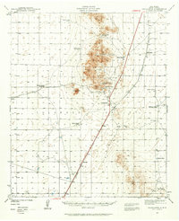
1916 · Tularosa
USGS Topo · 1:125,000

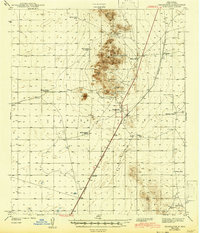
1916 · Point Of Sands
USGS Topo · 1:125,000
1940 · Orogrande
USGS Topo · 1:62,500
1943 · Pendejo Wash
USGS Topo · 1:62,500
1943 · Orogrande
USGS Topo · 1:62,500
1943 · Texas Hill
USGS Topo · 1:62,500
1945 · Texas Hill
USGS Topo · 1:62,500
1947 · Orogrande North
USGS Topo · 1:24,000
1948 · Tres Hermanos
USGS Topo · 1:62,500
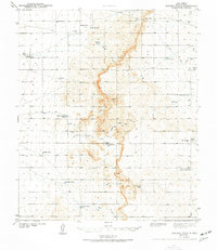
1948 · Tularosa
USGS Topo · 1:62,500