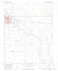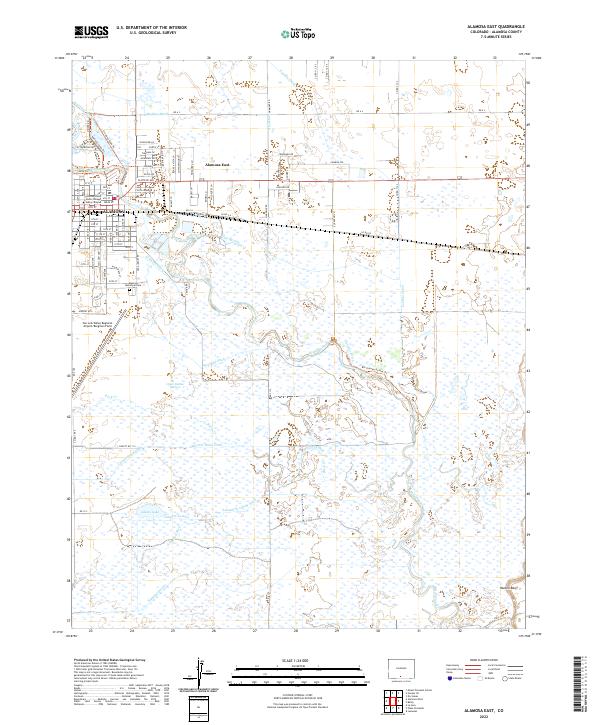
2022 Map of Alamosa East
USGS Topo · Published 2022About this map
The Rio Grande weaves through the heart of the San Luis Valley, defining the geography of Alamosa and its eastern neighbor. This landscape is a complex intersection of natural hydrology and human engineering, characterized by an extensive network of irrigation features including the Chicago Ditch, Costilla Canal, and Seamans Ditch. East of the urban center, the Alamosa National Wildlife Refuge preserves the riparian wetlands and bottomlands, while the Rio Grande Nature Trl provides access to these critical habitats. The map captures the community's infrastructure, from the Trinidad State Junior College Valley Campus and the Alamosa Municipal Cem to the regional transport hub at San Luis Valley Regional Airport/Bergman Field. To the south, the terrain subtly rises toward Hansen Bluff near the confluence of the Alamosa River and its accompanying diversions like the Waverly Drain Ditch.
Find a feature on this map
45 named features on this map. Tap any name to fly to it.
Don’t see what you’re looking for? This feature index may not catch every label — zoom into the map to look around manually.
Map Details
Editions of this 2022 Alamosa East Map
This is the sole edition of this map. No revisions or reprints were ever made.