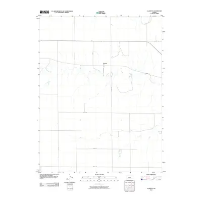
2022 Map of Alamota
USGS Topo · Published 2022About this map
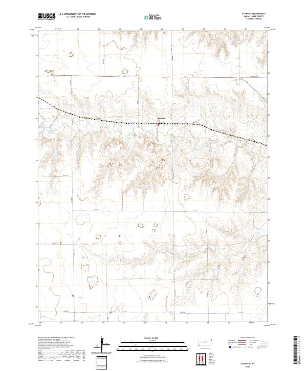
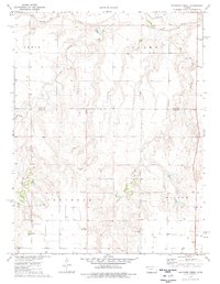
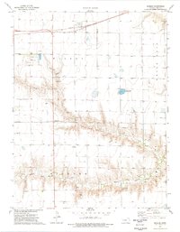
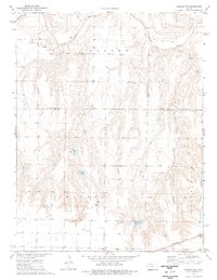
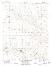
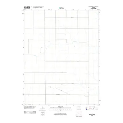
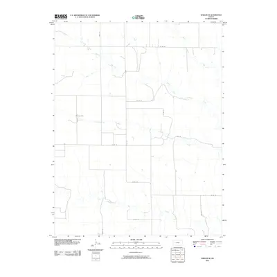
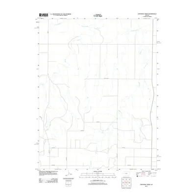
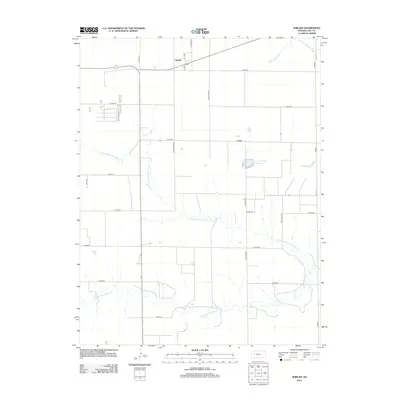
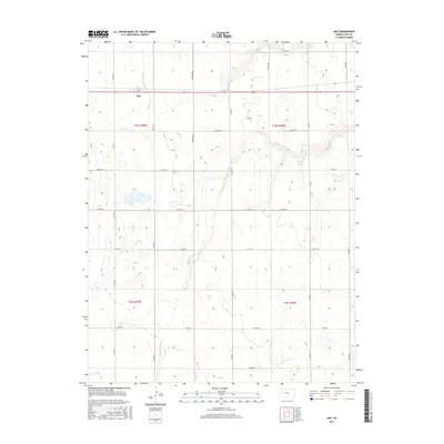
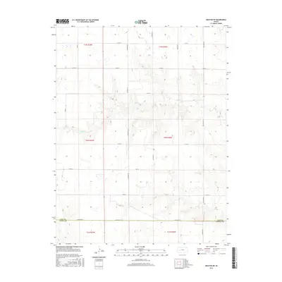
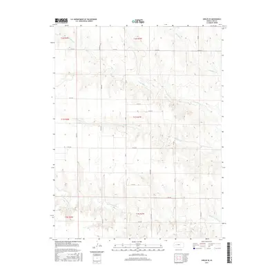
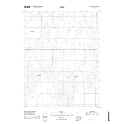
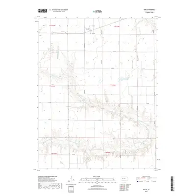
Alamota sits at the center of this rural Lane County landscape, positioned along the historic east-west route of Alamota Rd. The terrain is defined by the branching drainages of the S Fork Walnut Cr, which carves across the central portion of the quadrangle. This area of western Kansas preserves a rigid section-line grid of local roads, such as Turkey Red and Rowdy Rd, reflecting the enduring structure of the Public Land Survey System. To the north, Buffalo Cr cuts through the corners of the township, while Darr Cr trends southeast through the lower sections. The map illustrates a strictly agricultural environment where the placement of named thoroughfares like S Tomahawk and Vista Rd provides the primary framework for locating homesteads and historical land tracts.
Find a feature on this map
21 named features on this map. Tap any name to fly to it.
Don’t see what you’re looking for? This feature index may not catch every label — zoom into the map to look around manually.
Map Details
Editions of this 2022 Alamota Map
This is the sole edition of this map. No revisions or reprints were ever made.
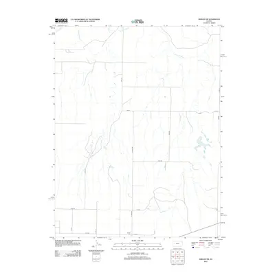
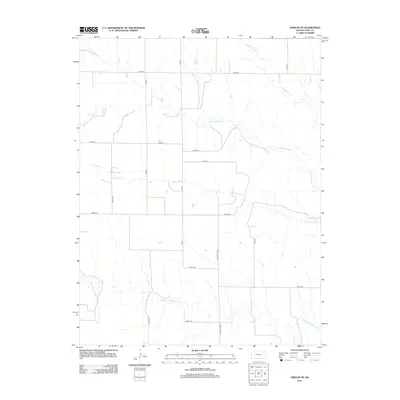
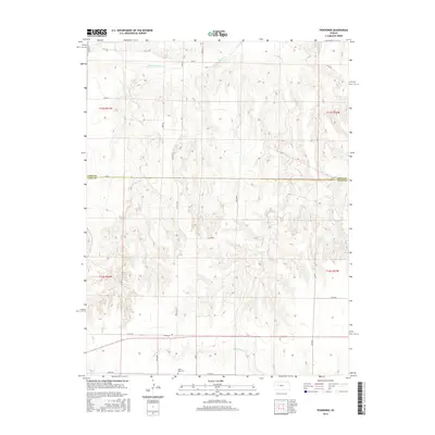
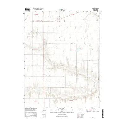
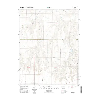
Historical Maps of Alamota Through Time
60 maps found
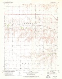
1974 Alamota
Lane County, KS
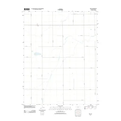
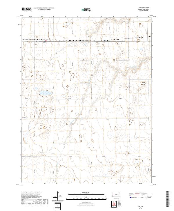
1974 Amy
Lane County, KS
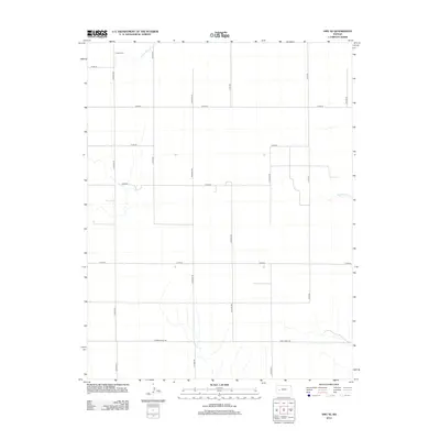
1974 Amy SE
Lane County, KS
1974 Cheyenne Creek
Lane County, KS
1974 Dighton SE
Lane County, KS
1974 Dighton SW
Lane County, KS
1974 Pendennis
Lane County, KS
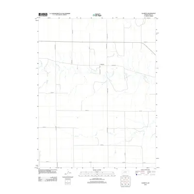
1974 Shields
Lane County, KS
1974 Shields NW
Lane County, KS
1974 Shields SE
Lane County, KS
2009 Alamota
Lane County, KS
2009 Amy
Lane County, KS
2009 Amy SE
Lane County, KS
2009 Cheyenne Creek
Lane County, KS
2009 Dighton SE
Lane County, KS
2009 Dighton SW
Lane County, KS
2009 Pendennis
Lane County, KS
2009 Shields
Lane County, KS
2009 Shields NW
Lane County, KS
2010 Shields SE
Lane County, KS
2012 Alamota
Lane County, KS
2012 Amy
Lane County, KS
2012 Amy SE
Lane County, KS
2012 Cheyenne Creek
Lane County, KS
2012 Dighton SE
Lane County, KS
2012 Dighton SW
Lane County, KS
2012 Pendennis
Lane County, KS
2012 Shields
Lane County, KS
2012 Shields NW
Lane County, KS
2012 Shields SE
Lane County, KS
2015 Alamota
Lane County, KS
2015 Amy
Lane County, KS
2015 Amy SE
Lane County, KS
2015 Cheyenne Creek
Lane County, KS
2015 Dighton SE
Lane County, KS
2015 Dighton SW
Lane County, KS
2015 Pendennis
Lane County, KS
2015 Shields
Lane County, KS
2015 Shields NW
Lane County, KS
2015 Shields SE
Lane County, KS
2018 Alamota
Lane County, KS
2018 Amy
Lane County, KS
2018 Amy SE
Lane County, KS
2018 Cheyenne Creek
Lane County, KS
2018 Dighton SE
Lane County, KS
2018 Dighton SW
Lane County, KS
2018 Pendennis
Lane County, KS
2018 Shields
Lane County, KS
2018 Shields NW
Lane County, KS
2018 Shields SE
Lane County, KS
2022 Alamota
Lane County, KS
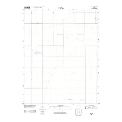
2022 Amy
Lane County, KS
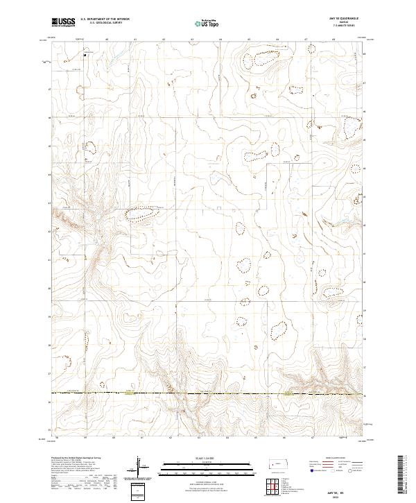
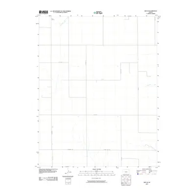
2022 Amy SE
Lane County, KS
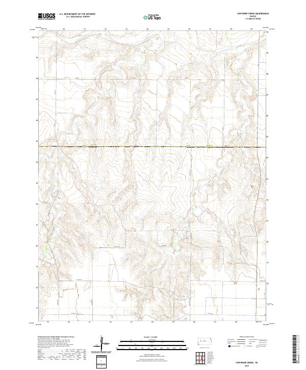
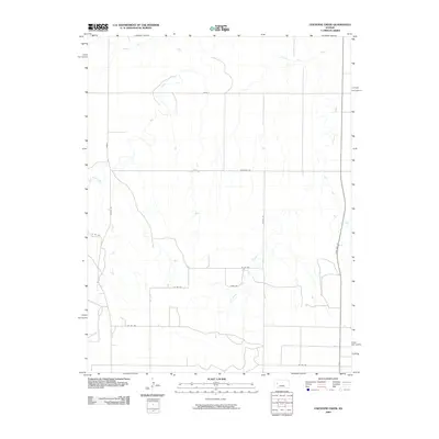
2022 Cheyenne Creek
Lane County, KS
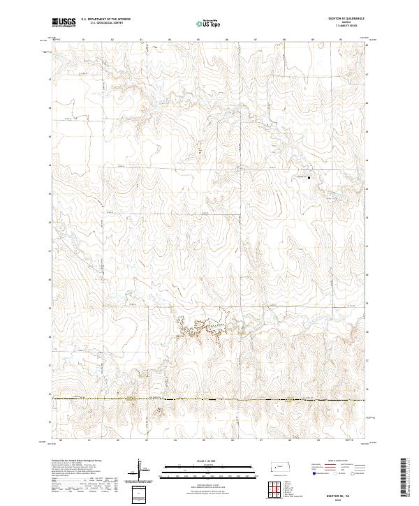
2022 Dighton SE
Lane County, KS
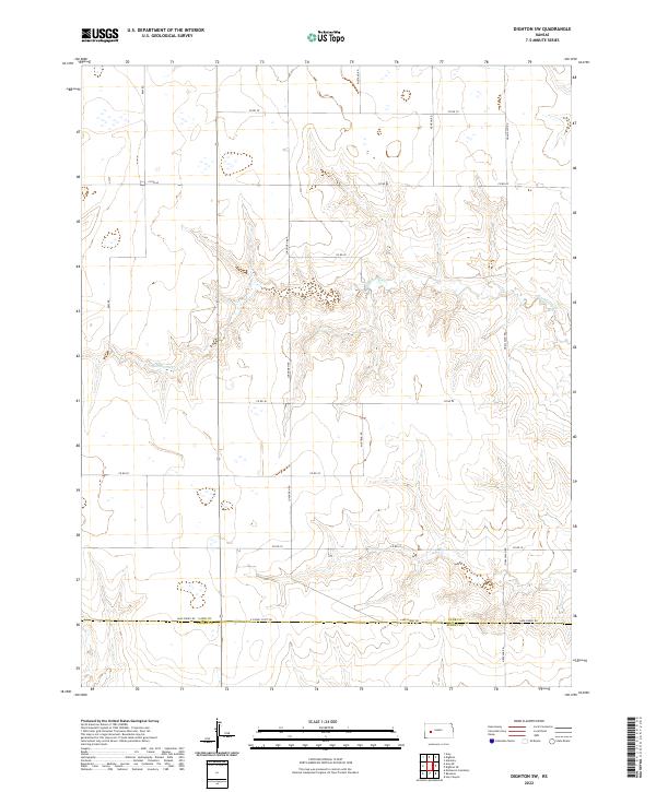
2022 Dighton SW
Lane County, KS
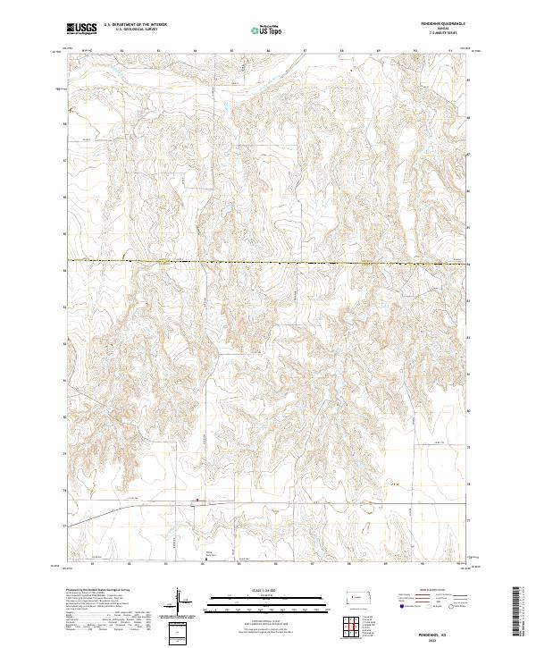
2022 Pendennis
Lane County, KS
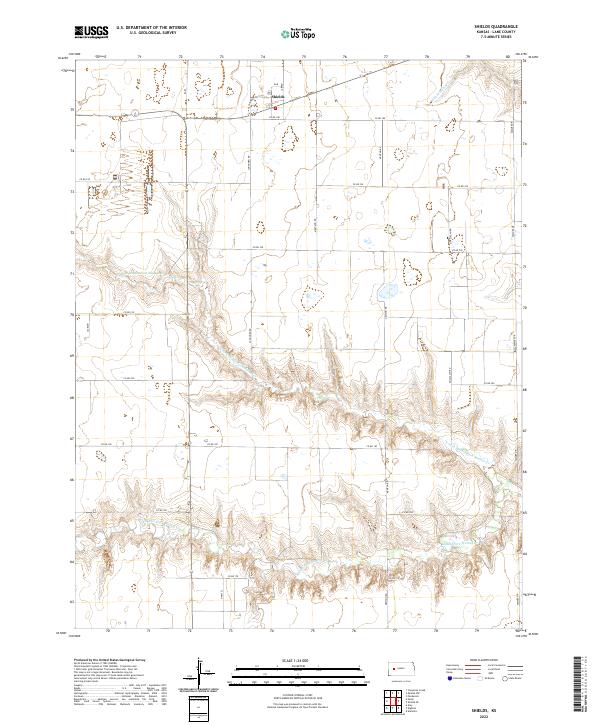
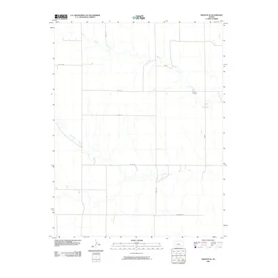
2022 Shields
Lane County, KS
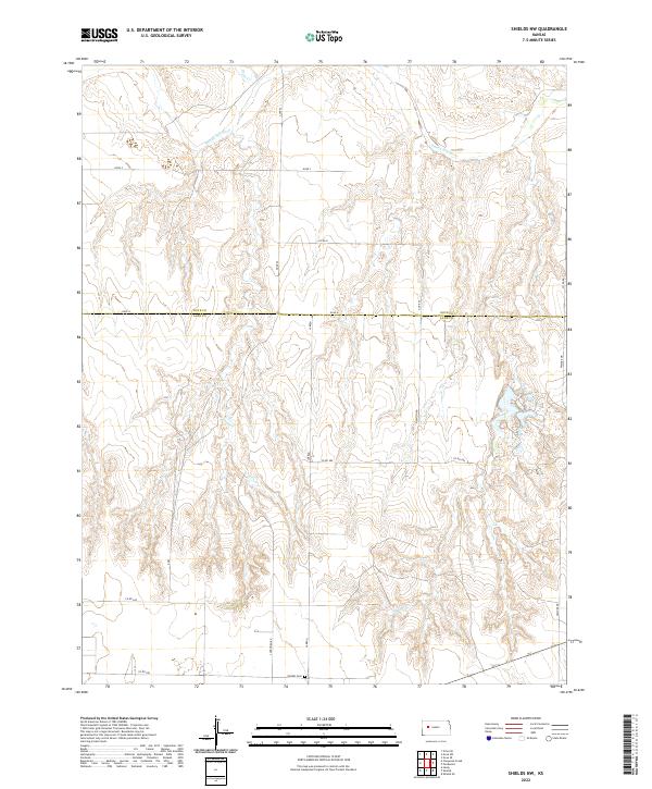
2022 Shields NW
Lane County, KS
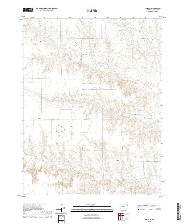
2022 Shields SE
Lane County, KS