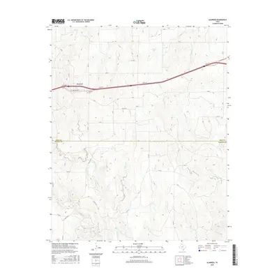
2016 Map of Alanreed
USGS Topo · Published 2016About this map
Alanreed sits at the northern edge of this high-plains landscape, where the town's grid is intersected by the winding path of a local service road and the older local streets like 3rd Ave. The terrain is defined by a series of drainage networks that flow southward from the plateau across the Gray Co and Donley Co line. This includes Whitefish Creek and its various tributaries such as Parks Cr and Mitchell Cr, which carve deep contours into the earth. To the northeast, the small basin of Cubine Lake and the headwaters of Peterson Cr indicate the varied water sources vital to this ranching country. For those researching local roots, the Alanreed Cem is clearly marked just outside the main settlement. The road network, including Ranch Rd 291, illustrates the connectivity between these isolated Panhandle communities and the surrounding grazing lands.
Find a feature on this map
32 named features on this map. Tap any name to fly to it.
Don’t see what you’re looking for? This feature index may not catch every label — zoom into the map to look around manually.
Map Details
Editions of this 2016 Alanreed Map
This is the sole edition of this map. No revisions or reprints were ever made.
Other maps of this area

1954 · Amarillo
USGS Topo · 1:250,000

1958 · Amarillo
USGS Topo · 1:250,000

1959 · Troublesome Creek
USGS Topo · 1:24,000

1959 · Spencer Lake
USGS Topo · 1:24,000

1962 · Griffin Ranch
USGS Topo · 1:24,000

1962 · Hudgens Ranch
USGS Topo · 1:24,000

1962 · Back
USGS Topo · 1:24,000

1963 · Alanreed
USGS Topo · 1:24,000

1963 · McLean
USGS Topo · 1:24,000

1964 · Rockledge
USGS Topo · 1:24,000