2022 Map of Alanreed
USGS Topo · Published 2022About this map
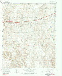
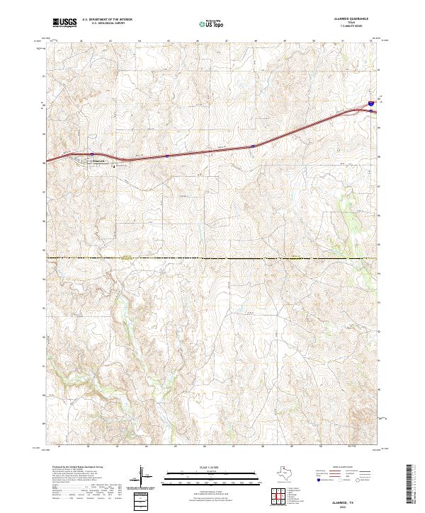
Alanreed sits at the northern edge of this Panhandle landscape, where the high plains of Gray County meet the drainage systems of Donley County. The settlement is centered near Alanreed Cem and is defined by the modern infrastructure of a major service corridor. Moving south, the terrain becomes increasingly dissected by a network of creek beds, including Whitefish Creek and Parks Cr, which carve through the local topography as they head toward the county line. This geography illustrates the transition from the flat tablelands used for ranching to the more broken breaks of the Red River watershed. The map records a grid of rural roads such as Ranch Rd 291 and Z Rd that connect isolated ranching operations across the Gray Co Donley Co boundary, reflecting the enduring cattle-country heritage of the region.
Find a feature on this map
38 named features on this map. Tap any name to fly to it.
Don’t see what you’re looking for? This feature index may not catch every label — zoom into the map to look around manually.
Map Details
Editions of this 2022 Alanreed Map
This is the sole edition of this map. No revisions or reprints were ever made.
Historical Maps of Alanreed Through Time
6 maps found