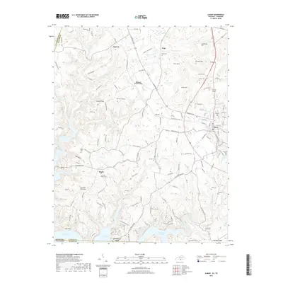
2019 Map of Albany
USGS Topo · Published 2019About this map
The town of Albany serves as the focal point of this region in south-central Kentucky, situated near the Tennessee border where the landscape transitions into the waters of Dale Hollow Lake. This 2019 survey documents the intricate network of ridges and hollows that define the area, including Hogback Ridge and Lettered Oak Ridge, which separate the various creek drainages. The map is particularly useful for genealogical research, identifying numerous family-named cemeteries such as Boyles Cem, Hopkins Cem, and Gibson Cem alongside long-established congregations like Cedar Hill Church Cem. The southern edge of the sheet illustrates the recreational and economic importance of the reservoir at Wolf River Dock, while scattered crossroads like Browns Crossroads and small settlements like Huntersville and Shipley highlight the enduring rural settlement pattern of Clinton County.
Find a feature on this map
143 named features on this map. Tap any name to fly to it.
Don’t see what you’re looking for? This feature index may not catch every label — zoom into the map to look around manually.
Map Details
Editions of this 2019 Albany Map
This is the sole edition of this map. No revisions or reprints were ever made.
Other maps of this area

1924 · Lillydale
USGS Topo · 1:62,500

1926 · Lillydale
USGS Topo · 1:62,500

1929 · Lillydale
USGS Topo · 1:62,500

1929 · Byrdstown
USGS Topo · 1:62,500

1953 · Burkesville
USGS Topo · 1:24,000

1953 · Wolf Creek Dam
USGS Topo · 1:24,000

1954 · Frogue
USGS Topo · 1:24,000

1954 · Cumberland City
USGS Topo · 1:24,000

1954 · Albany
USGS Topo · 1:24,000

1954 · Savage
USGS Topo · 1:24,000