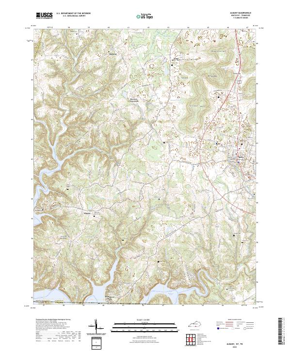
2022 Map of Albany
USGS Topo · Published 2022About this map
Albany serves as the focal point of this Clinton County landscape, with the Clinton County Courthouse situated at its center. The area's topography is defined by high points like Huddleston Mtn, Burchett Mtn, and Grider Mtn, which overlook a network of winding creeks such as Illwill Cr and Tuggle Cr. To the south, the terrain descends toward the shores of Dale Hollow Lake, where Wolf River Dock provides access to the water.
Find a feature on this map
135 named features on this map. Tap any name to fly to it.
Don’t see what you’re looking for? This feature index may not catch every label — zoom into the map to look around manually.
Map Details
Editions of this 2022 Albany Map
This is the sole edition of this map. No revisions or reprints were ever made.
Other maps of this area

1924 · Lillydale
USGS Topo · 1:62,500

1926 · Lillydale
USGS Topo · 1:62,500

1929 · Lillydale
USGS Topo · 1:62,500

1929 · Byrdstown
USGS Topo · 1:62,500

1953 · Burkesville
USGS Topo · 1:24,000

1953 · Wolf Creek Dam
USGS Topo · 1:24,000

1954 · Frogue
USGS Topo · 1:24,000

1954 · Cumberland City
USGS Topo · 1:24,000

1954 · Albany
USGS Topo · 1:24,000

1954 · Savage
USGS Topo · 1:24,000