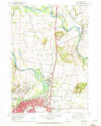
1970 Map of Albany
USGS Topo · Published 1972About this map
The confluence of the Santiam River and Willamette River dominates this 1970 snapshot of Linn and Marion Counties. The city of Albany is shown in detail, where the Southern Pacific and Oregon Electric railroads intersect near the downtown core. The map documents a period of industrial and municipal growth, visible in the Industrial Waste Ponds along the river and the Albany Municipal Airport east of Pacific Blvd.
Find a feature on this map
86 named features on this map. Tap any name to fly to it.
Don’t see what you’re looking for? This feature index may not catch every label — zoom into the map to look around manually.
Map Details
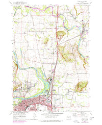
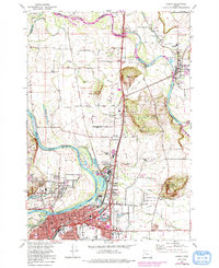
Editions of this 1970 Albany Map
3 editions found
Other maps of this area

1911 · Lebanon
USGS Topo · 1:31,680

1911 · Tangent
USGS Topo · 1:31,680

1912 · Jefferson
USGS Topo · 1:31,680

1913 · Oakville
USGS Topo · 1:31,680

1913 · Wells
USGS Topo · 1:31,680

1914 · Independence
USGS Topo · 1:31,680

1915 · Sidney
USGS Topo · 1:31,680

1916 · Albany
USGS Topo · 1:62,500

1917 · Salem
USGS Topo · 1:62,500

1921 · Lebanon
USGS Topo · 1:62,500