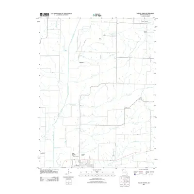
2011 Map of Albany North
USGS Topo · Published 2011About this map
The East Fork Grand River defines the drainage patterns of northern Missouri in this detail-oriented study of Gentry County. Anchored by the seat of Albany, the landscape transition from the river valley to the surrounding uplands is marked by a high density of rural cemeteries, including Grandview Cemetery, Wilson Cemetery, and Magee Cemetery, which provide essential touchstones for local genealogical research. Small settlements and crossroads such as Siloam Springs, Ellenorah, and Lone Star are connected by a network of rural routes like Wayman Church Rd and Prairie Ridge Rd.
Find a feature on this map
49 named features on this map. Tap any name to fly to it.
Don’t see what you’re looking for? This feature index may not catch every label — zoom into the map to look around manually.
Map Details
Editions of this 2011 Albany North Map
This is the sole edition of this map. No revisions or reprints were ever made.
Other maps of this area

1925 · Pattonsburg
USGS Topo · 1:62,500

1925 · Darlington
USGS Topo · 1:62,500

1942 · Grant City
USGS Topo · 1:62,500

1943 · Grant City
USGS Topo · 1:62,500

1944 · Pattonsburg
USGS Topo · 1:62,500

1946 · Pattonsburg
USGS Topo · 1:48,000

1948 · Bethany
USGS Topo · 1:62,500

1948 · Pattonsburg
USGS Topo · 1:62,500

1950 · Darlington
USGS Topo · 1:62,500

1955 · Nebraska City
USGS Topo · 1:250,000