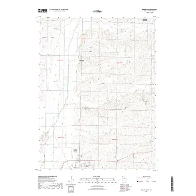
2017 Map of Albany North
USGS Topo · Published 2017About this map
Albany serves as the primary hub in this Gentry County landscape, where the town’s northern edge meets the rolling drainage basins of several prominent waterways. The East Fork Grand River dominates the western corridor, fed by a network of local streams including Chalk Run, Panther Cr, and Weldon Br. The map reveals a high density of rural burial grounds such as Highland Cem, Grandview Cem, and Bulla Cem, which are scattered throughout the surrounding townships. Transport and commerce are defined by the Albany Municipal Airport and a grid of state highways and section roads that connect smaller locales like Siloam Springs and Ellenorah. The eastern portion of the quadrangle is notably dissected by the winding paths of Big Muddy Cr and Little Muddy Cr, reflecting the intricate riparian network that has historically shaped agricultural land use and settlement patterns in this part of northern Missouri.
Find a feature on this map
59 named features on this map. Tap any name to fly to it.
Don’t see what you’re looking for? This feature index may not catch every label — zoom into the map to look around manually.
Map Details
Editions of this 2017 Albany North Map
This is the sole edition of this map. No revisions or reprints were ever made.
Other maps of this area

1925 · Pattonsburg
USGS Topo · 1:62,500

1925 · Darlington
USGS Topo · 1:62,500

1942 · Grant City
USGS Topo · 1:62,500

1943 · Grant City
USGS Topo · 1:62,500

1944 · Pattonsburg
USGS Topo · 1:62,500

1946 · Pattonsburg
USGS Topo · 1:48,000

1948 · Bethany
USGS Topo · 1:62,500

1948 · Pattonsburg
USGS Topo · 1:62,500

1950 · Darlington
USGS Topo · 1:62,500

1955 · Nebraska City
USGS Topo · 1:250,000