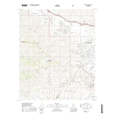
2018 Map of Alberhill
USGS Topo · Published 2018About this map
Lake Elsinore and the community of Alberhill anchor the eastern and northern portions of this 2018 survey, where suburban development meets the sharp topography of the Elsinore Mountains. The landscape is defined by the significant transition from the residential street grids along Lakeshore Dr and Broadway St to the protected wildlands of the Cleveland National Forest. In the northern corridor, Temescal Canyon Rd follows the Temescal Wash through the Temescal Valley, a historic transit and extraction route between the mountains and the valley floor.
Find a feature on this map
91 named features on this map. Tap any name to fly to it.
Don’t see what you’re looking for? This feature index may not catch every label — zoom into the map to look around manually.
Map Details
Editions of this 2018 Alberhill Map
This is the sole edition of this map. No revisions or reprints were ever made.
Other maps of this area

1901 · Southern California Sheet No. 1
USGS Topo · 1:250,000

1901 · Elsinore
USGS Topo · 1:125,000
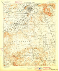
1901 · Riverside
USGS Topo · 1:62,500

1902 · Corona
USGS Topo · 1:125,000

1904 · Southern California Sheet No. 1
USGS Topo · 1:250,000
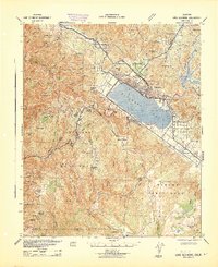
1942 · Lake Elsinore
USGS Topo · 1:62,500
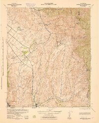
1942 · Santiago Peak
USGS Topo · 1:62,500
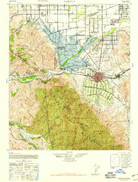
1942 · Corona
USGS Topo · 1:62,500
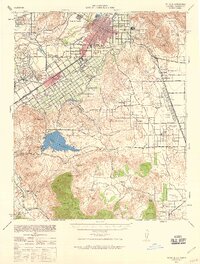
1942 · Riverside
USGS Topo · 1:62,500
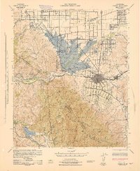
1943 · Corona
USGS Topo · 1:62,500