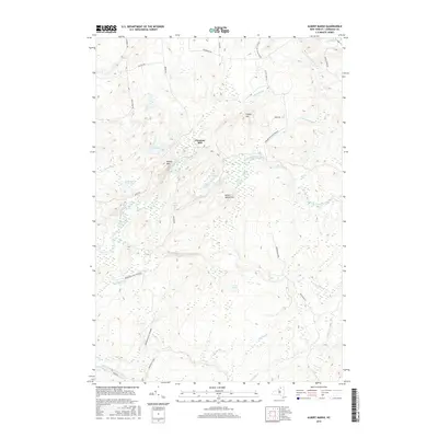
2016 Map of Albert Marsh
USGS Topo · Published 2016About this map
Gleasons Mill sits at a crossroads in the northern reaches of the Adirondack Park Preserve, where the terrain begins its ascent toward the higher peaks of Saint Lawrence County. This landscape is defined by the winding paths of the North Branch Grass River and the Middle Branch Grass River, which carve through a mosaic of wetlands and high points like Painter Mtn and Albert Marsh Hill. The survey reveals a complex hydrological network including Albert Marsh, Cranberry Pond, and Little Rock Pond, alongside named water sources like Palmer Spring and Goblet Spring. A system of local routes, such as Orebed Rd and Buck Pond Rd, provides access to these timberlands and remote clearings, reflecting the region's enduring character as a managed wilderness at the edge of the state's parklands.
Find a feature on this map
39 named features on this map. Tap any name to fly to it.
Don’t see what you’re looking for? This feature index may not catch every label — zoom into the map to look around manually.
Map Details
Editions of this 2016 Albert Marsh Map
This is the sole edition of this map. No revisions or reprints were ever made.
Other maps of this area

1908 · Potsdam
USGS Topo · 1:62,500

1910 · Canton
USGS Topo · 1:62,500

1911 · Canton
USGS Topo · 1:62,500

1915 · Russell
USGS Topo · 1:62,500

1918 · Russell
USGS Topo · 1:62,500

1921 · Stark
USGS Topo · 1:62,500

1923 · Stark
USGS Topo · 1:62,500

1940 · Stark
USGS Topo · 1:62,500

1942 · Long Bow
USGS Topo · 1:24,000
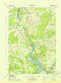
1943 · Colton
USGS Topo · 1:31,680