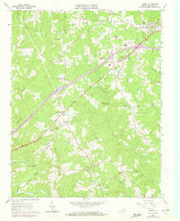
1963 Map of Alberta
USGS Topo · Published 1972About this map
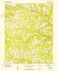
The Meherrin River flows along the southern edge of this Brunswick County landscape, where the confluence of several large tributaries like Great Creek and Roses Creek shaped the early rural layout. The town of Alberta serves as a primary hub, uniquely positioned at the intersection of the Norfolk and Western and the Seaboard Coast Line railroads. These rail corridors influenced the development of nearby settlements such as Cochran and Meredithville, while smaller hamlets like Charlie Hope remained centered around local institutions including Charlie Hope No. 1 Sch and Walden Ch. Family legacy is visible across the terrain in the form of the Laffoon Cem, Johnson Cem, and Dugger Cem. Industrial and infrastructure markers include a Quarry near Cochran and Price Mill on the banks of Great Creek, while Gees Bridge provides a documented crossing of the Meherrin River.
Find a feature on this map
37 named features on this map. Tap any name to fly to it.
Don’t see what you’re looking for? This feature index may not catch every label — zoom into the map to look around manually.
Map Details
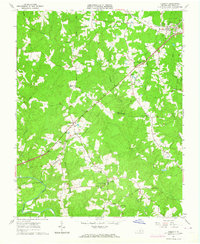
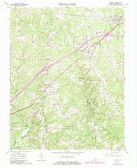
Editions of this 1963 Alberta Map
3 editions found
Other maps of this area

1918 · Lawrenceville
USGS Topo · 1:62,500

1919 · White Plains
USGS Topo · 1:48,000

1920 · Lawrenceville
USGS Topo · 1:48,000

1920 · White Plains
USGS Topo · 1:62,500

1921 · Lawrenceville
USGS Topo · 1:62,500

1942 · Lawrenceville
USGS Topo · 1:62,500
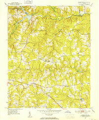
1951 · Danieltown
USGS Topo · 1:24,000
1951 · Warfield
USGS Topo · 1:24,000

1953 · Norfolk
USGS Topo · 1:250,000

1953 · Greensboro
USGS Topo · 1:250,000