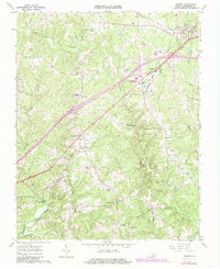
1963 Map of Alberta
USGS Topo · Published 1985About this map
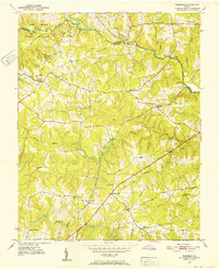
Brunswick County’s rural character and rail-centered development are captured here during the 1960s, with later updates tracking the mid-century expansion of local institutions. The town of Alberta serves as a northern hub, defined by the junction of the Norfolk and Western and Seaboard Coast Line railroads. This intersection created a corridor of small communities such as Cochran and Meredithville, which were once vital links in the region's agricultural and transit network. Further south, the landscape is dotted with family-named landmarks and educational sites, including the Southside Community College (Christanna Campus) and rural schools like Charlie Hope No 2 Sch.
Find a feature on this map
34 named features on this map. Tap any name to fly to it.
Don’t see what you’re looking for? This feature index may not catch every label — zoom into the map to look around manually.
Map Details
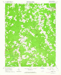
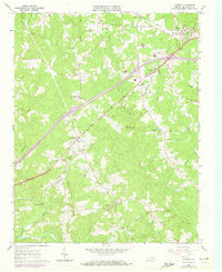
Editions of this 1963 Alberta Map
3 editions found
Other maps of this area

1918 · Lawrenceville
USGS Topo · 1:62,500

1919 · White Plains
USGS Topo · 1:48,000

1920 · Lawrenceville
USGS Topo · 1:48,000

1920 · White Plains
USGS Topo · 1:62,500

1921 · Lawrenceville
USGS Topo · 1:62,500

1942 · Lawrenceville
USGS Topo · 1:62,500
1951 · Danieltown
USGS Topo · 1:24,000
1951 · Warfield
USGS Topo · 1:24,000

1953 · Norfolk
USGS Topo · 1:250,000

1953 · Greensboro
USGS Topo · 1:250,000