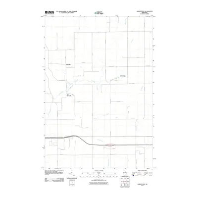
2010 Map of Albertville
USGS Topo · Published 2010About this map
Albertville and its predecessor, Old Albertville, anchor this 2010 survey of a predominantly agricultural landscape in the Town of Wheaton. The geography is defined by the winding course of Elk Creek, which meanders through the central portion of the quadrangle before being joined by numerous smaller tributaries such as Little Hay Creek and Beaver Creek. The map documents a classic Midwestern section-line road network, where thoroughfares like 80th Ave and 40th St intersect to form a rigid grid across the undulating terrain.
Find a feature on this map
37 named features on this map. Tap any name to fly to it.
Don’t see what you’re looking for? This feature index may not catch every label — zoom into the map to look around manually.
Map Details
Editions of this 2010 Albertville Map
This is the sole edition of this map. No revisions or reprints were ever made.
Other maps of this area

1934 · Elk Mound
USGS Topo · 1:62,500

1934 · Chippewa Falls
USGS Topo · 1:62,500

1936 · Chippewa Falls
USGS Topo · 1:62,500

1936 · Elk Mound
USGS Topo · 1:62,500

1949 · Bloomer
USGS Topo · 1:62,500

1949 · New Auburn
USGS Topo · 1:62,500

1951 · Bloomer
USGS Topo · 1:62,500

1951 · New Auburn
USGS Topo · 1:62,500

1953 · Eau Claire
USGS Topo · 1:250,000

1953 · Rice Lake
USGS Topo · 1:250,000