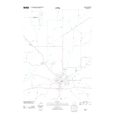
2013 Map of Albia
USGS Topo · Published 2013About this map
Albia serves as the central hub of this 2013 survey, showing the town's grid and outward expansion toward the Monroe County Sports Complex and the Monroe County Fairground. The surrounding Monroe County landscape is defined by a dendritic network of waterways, including Miller Cr, Grays Cr, and Coal Cr, which weave through the agricultural parcels and timbered draws. To the north, the Miami Lake State Game Management Area surrounds Lake Miami, providing a significant preserved area for wildlife and recreation. The map captures the infrastructure of the early 21st century, from the smaller settlements of Maxon and Hagerty to the Maxon Reservoir. The detailed road network, marked by names like Co Hwy-H33 and numerous township avenues, illustrates the modern rural connectivity of this Iowa heartland.
Find a feature on this map
101 named features on this map. Tap any name to fly to it.
Don’t see what you’re looking for? This feature index may not catch every label — zoom into the map to look around manually.
Map Details
Editions of this 2013 Albia Map
This is the sole edition of this map. No revisions or reprints were ever made.
Other maps of this area

1929 · Albia
USGS Topo · 1:62,500

1939 · Mystic
USGS Topo · 1:62,500

1942 · Mystic
USGS Topo · 1:62,500

1954 · Centerville
USGS Topo · 1:250,000

1954 · Des Moines
USGS Topo · 1:250,000

1956 · Des Moines
USGS Topo · 1:250,000

1957 · Des Moines
USGS Topo · 1:250,000

1957 · Centerville
USGS Topo · 1:250,000

1958 · Centerville
USGS Topo · 1:250,000

1968 · Eddyville
USGS Topo · 1:24,000