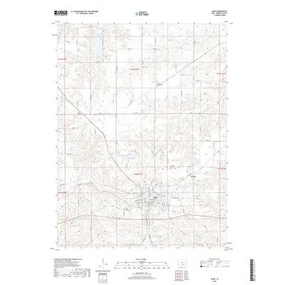
2018 Map of Albia
USGS Topo · Published 2018About this map
Albia serves as the focal point of this Monroe County landscape, showing a dense grid of residential streets and local landmarks. Several significant burial grounds are situated within or near the town, including Oak View Cem and Saint Mary's Cem, which offer key data points for genealogical research. To the northeast, the smaller settlement of Maxon sits near the Maxon Reservoir, illustrating the distributed nature of historical communities across the Iowa prairie.
Find a feature on this map
100 named features on this map. Tap any name to fly to it.
Don’t see what you’re looking for? This feature index may not catch every label — zoom into the map to look around manually.
Map Details
Editions of this 2018 Albia Map
This is the sole edition of this map. No revisions or reprints were ever made.
Other maps of this area

1929 · Albia
USGS Topo · 1:62,500

1939 · Mystic
USGS Topo · 1:62,500

1942 · Mystic
USGS Topo · 1:62,500

1954 · Centerville
USGS Topo · 1:250,000

1954 · Des Moines
USGS Topo · 1:250,000

1956 · Des Moines
USGS Topo · 1:250,000

1957 · Des Moines
USGS Topo · 1:250,000

1957 · Centerville
USGS Topo · 1:250,000

1958 · Centerville
USGS Topo · 1:250,000

1968 · Eddyville
USGS Topo · 1:24,000