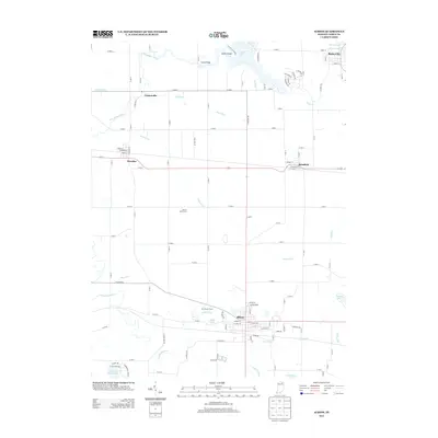
2013 Map of Albion
USGS Topo · Published 2013About this map
Albion, the county seat of Noble County, sits as the central hub of this Indiana landscape, where the town street grid meets the agricultural and drainage networks of the region. The map highlights a complex hydrography defined by the N Br Elkhart River and S Br Elkhart River, alongside numerous managed waterways like Huston Ditch and Schwab Ditch that support the local farming economy.
Find a feature on this map
82 named features on this map. Tap any name to fly to it.
Don’t see what you’re looking for? This feature index may not catch every label — zoom into the map to look around manually.
Map Details
Editions of this 2013 Albion Map
This is the sole edition of this map. No revisions or reprints were ever made.
Other maps of this area

1947 · Wolcottville
USGS Topo · 1:24,000

1947 · Oliver Lake
USGS Topo · 1:24,000

1951 · Ormas
USGS Topo · 1:24,000

1951 · Merriam
USGS Topo · 1:24,000

1953 · Fort Wayne
USGS Topo · 1:250,000

1955 · Ege
USGS Topo · 1:24,000

1955 · Kendallville
USGS Topo · 1:24,000

1956 · Fort Wayne
USGS Topo · 1:250,000

1956 · Ligonier
USGS Topo · 1:24,000

1956 · Albion
USGS Topo · 1:24,000