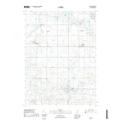
2019 Map of Albion
USGS Topo · Published 2019About this map
Albion, the county seat of Noble County, anchors the southern portion of this landscape, characterized by a complex network of agricultural drainage and natural water bodies. The South Branch Elkhart River and North Branch Elkhart River wind through the region, supporting a series of lakes and wetlands such as Waldron Lake and Little Lake. The layout of the land reveals a long history of water management, evidenced by named channels like Schwab Ditch, Boyd Ditch, and Huston Ditch that crisscross the farm fields. Small rural centers including Wawaka, Brimfield, and Rome City are connected by a grid of county roads, while several burial sites like Rose Hill Cem and Orange Cem provide touchpoints for local family histories. The presence of Eagle Island in the northern waters and The Spread further west highlights the diverse marshland and riverine environments that define this part of northern Indiana.
Find a feature on this map
77 named features on this map. Tap any name to fly to it.
Don’t see what you’re looking for? This feature index may not catch every label — zoom into the map to look around manually.
Map Details
Editions of this 2019 Albion Map
This is the sole edition of this map. No revisions or reprints were ever made.
Other maps of this area

1947 · Wolcottville
USGS Topo · 1:24,000

1947 · Oliver Lake
USGS Topo · 1:24,000

1951 · Ormas
USGS Topo · 1:24,000

1951 · Merriam
USGS Topo · 1:24,000

1953 · Fort Wayne
USGS Topo · 1:250,000

1955 · Ege
USGS Topo · 1:24,000

1955 · Kendallville
USGS Topo · 1:24,000

1956 · Fort Wayne
USGS Topo · 1:250,000

1956 · Ligonier
USGS Topo · 1:24,000

1956 · Albion
USGS Topo · 1:24,000