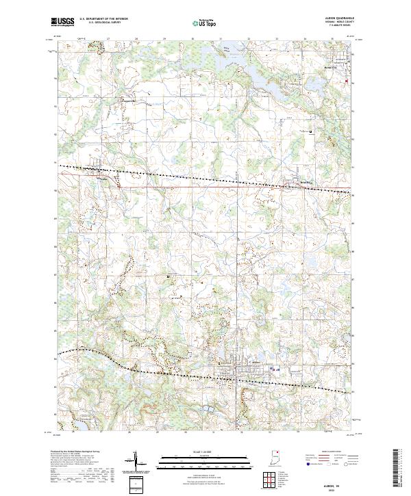
2022 Map of Albion
USGS Topo · Published 2022About this map
Albion serves as the focal point of this Noble County landscape, anchored by the Noble County Courthouse and surrounded by a complex network of glacial hydrology. To the north, Rome City sits at the edge of Waldron Lake, where Eagle Island and numerous inlets define the shoreline. The region's transport history is clearly visible in the path of CSX Transportation through the settlements of Wawaka and Brimfield. A sophisticated drainage system, including Huston Ditch, Boyd Ditch, and Long Ditch, crisscrosses the farmland between the North Branch and South Branch Elkhart River. For those tracing local heritage, several small burial grounds are documented, such as Orange Cem and Wright Cem, providing essential markers for genealogical research in this agricultural heartland.
Find a feature on this map
122 named features on this map. Tap any name to fly to it.
Don’t see what you’re looking for? This feature index may not catch every label — zoom into the map to look around manually.
Map Details
Editions of this 2022 Albion Map
This is the sole edition of this map. No revisions or reprints were ever made.
Other maps of this area

1947 · Wolcottville
USGS Topo · 1:24,000

1947 · Oliver Lake
USGS Topo · 1:24,000

1951 · Ormas
USGS Topo · 1:24,000

1951 · Merriam
USGS Topo · 1:24,000

1953 · Fort Wayne
USGS Topo · 1:250,000

1955 · Ege
USGS Topo · 1:24,000

1955 · Kendallville
USGS Topo · 1:24,000

1956 · Fort Wayne
USGS Topo · 1:250,000

1956 · Ligonier
USGS Topo · 1:24,000

1956 · Albion
USGS Topo · 1:24,000