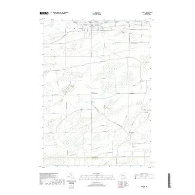
2019 Map of Albion
USGS Topo · Published 2019About this map
The Erie Canal bisects the northern reaches of this landscape, serving as the historical and economic anchor for Albion. Within the village, the Orleans County Courthouse stands as a central landmark, surrounded by a dense grid of residential streets like W Bank St and S Main St. Multiple bridges, including the Ingersoll Street Bridge and Butts Road Bridge, span the canal, illustrating the engineering required to integrate this 19th-century waterway into a modern transportation network.
Find a feature on this map
93 named features on this map. Tap any name to fly to it.
Don’t see what you’re looking for? This feature index may not catch every label — zoom into the map to look around manually.
Map Details
Editions of this 2019 Albion Map
This is the sole edition of this map. No revisions or reprints were ever made.
Other maps of this area

1897 · Albion
USGS Topo · 1:62,500

1897 · Medina
USGS Topo · 1:62,500

1897 · Oak Orchard
USGS Topo · 1:62,500

1897 · Ridgeway
USGS Topo · 1:62,500

1944 · Holley
USGS Topo · 1:31,680

1944 · Byron
USGS Topo · 1:31,680

1944 · Ashwood
USGS Topo · 1:31,680

1944 · Albion
USGS Topo · 1:31,680

1949 · Kendall
USGS Topo · 1:62,500
1950 · Knowlesville
USGS Topo · 1:24,000