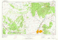
1963 Map of Albuquerque
USGS Topo · Published 1971About this map
Albuquerque and the surrounding high desert terrain are mapped here during a period of significant mid-century growth. The city is flanked by Kirtland AFB and the Sandia Military Reservation, while the Rio Grande valley provides a fertile corridor through the center of the sheet. To the west, the landscape is defined by the massive Mount Taylor and the volcanic expanses of The Malpais, where the Atchison Topeka and Santa Fe RR parallels Us 66.
Find a feature on this map
129 named features on this map. Tap any name to fly to it.
Don’t see what you’re looking for? This feature index may not catch every label — zoom into the map to look around manually.
Map Details
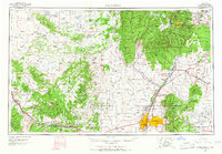
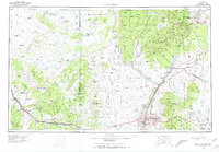
Editions of this 1963 Albuquerque Map
3 editions found
Other maps of this area

1883 · Mt. Taylor
USGS Topo · 1:250,000

1886 · Wingate
USGS Topo · 1:250,000

1886 · Mt. Taylor
USGS Topo · 1:250,000

1888 · Bernalillo
USGS Topo · 1:125,000

1889 · Albuquerque
USGS Topo · 1:125,000

1889 · Largo
USGS Topo · 1:250,000

1889 · Chaco
USGS Topo · 1:250,000

1889 · Santa Fe
USGS Topo · 1:125,000

1890 · Jemes
USGS Topo · 1:125,000

1892 · San Pedro
USGS Topo · 1:125,000