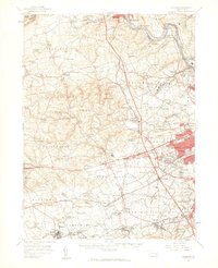
1957 Map of Alburtis
USGS Topo · Published 1960About this map
The Lehigh River snakes through the northeast corner of this Pennsylvania landscape, carving a valley past industrial and transport hubs like Slatington and Walnutport. The terrain is defined by the sharp rise of Blue Mountain to the north and the rolling agricultural uplands of Heidelberg and Lowhill townships. This mid-century survey captures a region in transition, where established rural communities such as Saegersville and Germansville maintain their 19th-century footprints alongside large conservation tracts like the Trexler Private Game Preserve and State Game Lands No 205.
Find a feature on this map
146 named features on this map. Tap any name to fly to it.
Don’t see what you’re looking for? This feature index may not catch every label — zoom into the map to look around manually.
Map Details
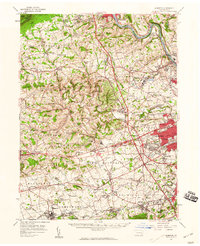
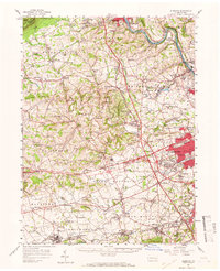
Editions of this 1957 Alburtis Map
Other maps of this area

1888 · Quakertown
USGS Topo · 1:62,500

1889 · Hazleton
USGS Topo · 1:62,500

1890 · Quakertown
USGS Topo · 1:62,500

1891 · Hazleton
USGS Topo · 1:62,500

1893 · Hazleton
USGS Topo · 1:62,500

1894 · Reading
USGS Topo · 1:62,500

1894 · Allentown
USGS Topo · 1:62,500

1894 · Quakertown
USGS Topo · 1:62,500

1902 · Boyertown
USGS Topo · 1:62,500

1902 · Slatington
USGS Topo · 1:62,500