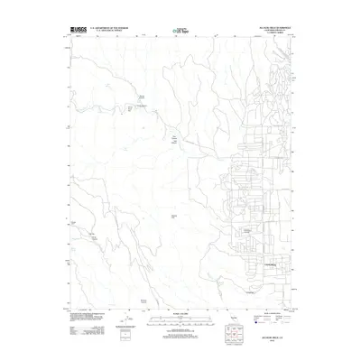
2012 Map of Alcalde Hills
USGS Topo · Published 2012About this map
The western edges of Coalinga meet the eastern slopes of the Alcalde Hills in this detailed survey of the California landscape. The area is defined by a dense network of canyons and springs that have long dictated movement through this arid terrain. Notable features include Coalmine Canyon and Parsons Canyon, which cut through the ridges toward the valley floor. Historically significant sites such as Sprague Cabin and Oak Flat are documented alongside established landmarks like Dodge Hill. The map traces the winding course of Los Gatos Cr as it flows from the highlands near Dutch Oven Flat, following the natural drainage patterns that shaped the development of Fresno County's western reaches. This 2012 snapshot provides a precise view of the interface between the urban grid of the Central Valley and the varied topography of the Diablo Range foothills.
Find a feature on this map
36 named features on this map. Tap any name to fly to it.
Don’t see what you’re looking for? This feature index may not catch every label — zoom into the map to look around manually.
Map Details
Editions of this 2012 Alcalde Hills Map
This is the sole edition of this map. No revisions or reprints were ever made.
Other maps of this area

1912 · Coalinga
USGS Topo · 1:125,000

1915 · Priest Valley
USGS Topo · 1:125,000

1936 · Kreyenhagen Hills
USGS Topo · 1:31,680
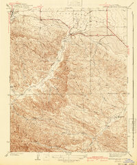
1941 · Kreyenhagen Hills
USGS Topo · 1:31,680

1941 · Priest Valley
USGS Topo · 1:62,500

1943 · New Idria
USGS Topo · 1:62,500

1943 · Joaquin Rocks
USGS Topo · 1:62,500
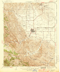
1944 · Coalinga
USGS Topo · 1:62,500

1944 · Priest Valley
USGS Topo · 1:62,500

1948 · Santa Cruz
USGS Topo · 1:250,000