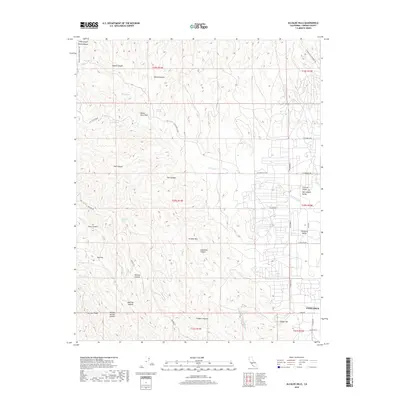
2018 Map of Alcalde Hills
USGS Topo · Published 2018About this map
Alcalde Hills and the western edge of the San Joaquin Valley meet on this 2018 survey, centered on the rugged transition between the Diablo Range and the agricultural flatlands. The city of Coalinga anchors the southeast corner, where the grid of Pleasant Valley begins to give way to the complex topography of the foothills. This landscape is defined by its drainage patterns, with numerous named corridors like Nunez Canyon, Salt Canyon, and Coalmine Canyon cutting through the ridges.
Find a feature on this map
49 named features on this map. Tap any name to fly to it.
Don’t see what you’re looking for? This feature index may not catch every label — zoom into the map to look around manually.
Map Details
Editions of this 2018 Alcalde Hills Map
This is the sole edition of this map. No revisions or reprints were ever made.
Other maps of this area

1912 · Coalinga
USGS Topo · 1:125,000

1915 · Priest Valley
USGS Topo · 1:125,000

1936 · Kreyenhagen Hills
USGS Topo · 1:31,680
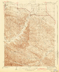
1941 · Kreyenhagen Hills
USGS Topo · 1:31,680

1941 · Priest Valley
USGS Topo · 1:62,500

1943 · New Idria
USGS Topo · 1:62,500

1943 · Joaquin Rocks
USGS Topo · 1:62,500
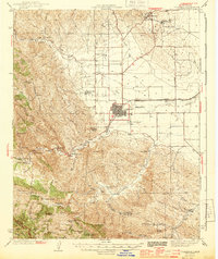
1944 · Coalinga
USGS Topo · 1:62,500

1944 · Priest Valley
USGS Topo · 1:62,500

1948 · Santa Cruz
USGS Topo · 1:250,000