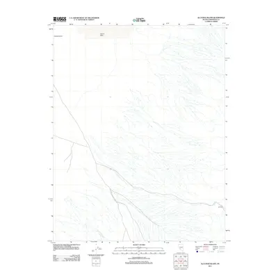
2011 Map of Alcatraz Island
USGS Topo · Published 2011About this map
Clayton Valley dominates the northern landscape of this Esmeralda County region, characterized by its distinctive desert topography and drainage patterns. The area is defined by intermittent water courses, most notably Lida Wash, which cuts through the alluvial fans of the Great Basin terrain. Transport through this arid corridor is primarily facilitated by the Silver Peak-Railroad Springs Rd, a significant route connecting remote locations. This 2011 survey also identifies the specific site of Alcatraz Island in the northwest, a name likely shared with more famous maritime landmarks but here representing a localized feature within the high desert. Near the eastern boundary, the location of Swiftwater marks another point of interest for those studying the hydrography and historical geography of Nevada’s basin and range province.
Find a feature on this map
6 named features on this map. Tap any name to fly to it.
Don’t see what you’re looking for? This feature index may not catch every label — zoom into the map to look around manually.
Map Details
Editions of this 2011 Alcatraz Island Map
This is the sole edition of this map. No revisions or reprints were ever made.
Other maps of this area

1898 · Silver Peak
USGS Topo · 1:125,000

1900 · Silver Peak
USGS Topo · 1:125,000

1908 · Lida
USGS Topo · 1:250,000

1913 · Lida
USGS Topo · 1:250,000

1945 · Goldfield
USGS Topo · 1:125,000

1954 · Goldfield
USGS Topo · 1:250,000

1955 · Goldfield
USGS Topo · 1:250,000

1958 · Goldfield
USGS Topo · 1:250,000

1962 · Goldfield
USGS Topo · 1:250,000

1963 · Silver Peak
USGS Topo · 1:62,500