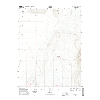
2014 Map of Alcatraz Island
USGS Topo · Published 2014About this map
Clayton Valley and the dry expanse of the Ralston Desert dominate this corner of Esmeralda County, Nevada. The terrain is characterized by stark landforms including the uplifted Alcatraz Island and Angel Island, namesakes of their more famous coastal counterparts but here standing as high points above the desert floor. Water is a rare presence in this arid environment, evidenced only by the seasonal drainage of Lida Wash and the ephemeral Birch Cr. Navigation through this desolate area is centered on NV-265, which cuts across the western portion of the valley. The map documents the vast public land system of the Great Basin, where topographic relief is defined by the steep contours of Clayton Ridge and isolated desert buttes.
Find a feature on this map
14 named features on this map. Tap any name to fly to it.
Don’t see what you’re looking for? This feature index may not catch every label — zoom into the map to look around manually.
Map Details
Editions of this 2014 Alcatraz Island Map
This is the sole edition of this map. No revisions or reprints were ever made.
Other maps of this area

1898 · Silver Peak
USGS Topo · 1:125,000

1900 · Silver Peak
USGS Topo · 1:125,000

1908 · Lida
USGS Topo · 1:250,000

1913 · Lida
USGS Topo · 1:250,000

1945 · Goldfield
USGS Topo · 1:125,000

1954 · Goldfield
USGS Topo · 1:250,000

1955 · Goldfield
USGS Topo · 1:250,000

1958 · Goldfield
USGS Topo · 1:250,000

1962 · Goldfield
USGS Topo · 1:250,000

1963 · Silver Peak
USGS Topo · 1:62,500