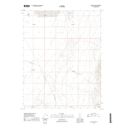
2018 Map of Alcatraz Island
USGS Topo · Published 2018About this map
Clayton Valley dominates this arid landscape in Esmeralda County, where the desert floor is punctuated by distinct landforms like the inland Alcatraz Island and Angel Island. These features rise from the basin floor north of the rugged Clayton Ridge, illustrating the complex geological formations of the Great Basin. Transportation through this remote stretch of the Ralston Desert is defined by a sparse network of desert tracks, most notably the Silver Peak-Railroad Springs Rd and the S Clayton Valley East-West Rd, which navigate the wide basins and ephemeral drainages. Natural hydrology is limited to seasonal features such as Lida Wash and Birch Cr, which reflect the extreme desert conditions of the region during the early 21st century.
Find a feature on this map
15 named features on this map. Tap any name to fly to it.
Don’t see what you’re looking for? This feature index may not catch every label — zoom into the map to look around manually.
Map Details
Editions of this 2018 Alcatraz Island Map
This is the sole edition of this map. No revisions or reprints were ever made.
Other maps of this area

1898 · Silver Peak
USGS Topo · 1:125,000

1900 · Silver Peak
USGS Topo · 1:125,000

1908 · Lida
USGS Topo · 1:250,000

1913 · Lida
USGS Topo · 1:250,000

1945 · Goldfield
USGS Topo · 1:125,000

1954 · Goldfield
USGS Topo · 1:250,000

1955 · Goldfield
USGS Topo · 1:250,000

1958 · Goldfield
USGS Topo · 1:250,000

1962 · Goldfield
USGS Topo · 1:250,000

1963 · Silver Peak
USGS Topo · 1:62,500