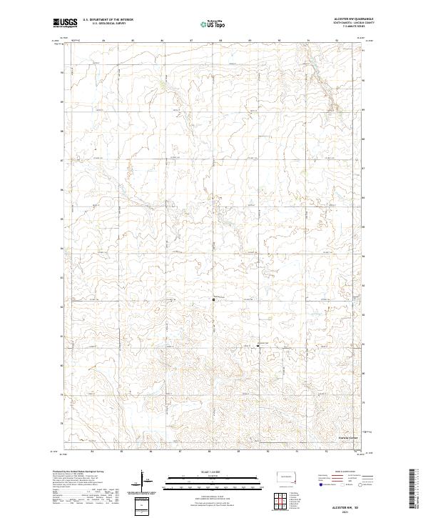
2021 Map of Alcester NW
USGS Topo · Published 2021About this map
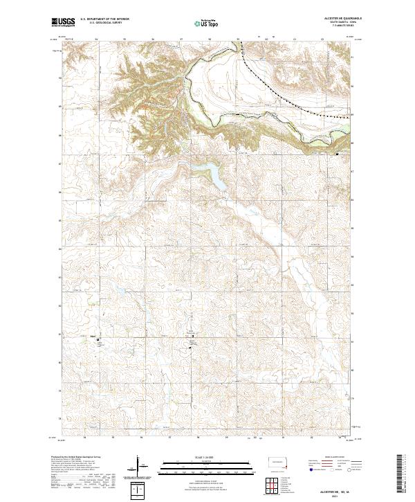
Norway Center sits in the southeastern corner of this rural Lincoln County landscape, serving as a focal point for the surrounding agricultural sections. The area is defined by a dendritic network of small waterways, most notably the meandering Saddle Cr and the headwaters of W Brule Cr and E Brule Cr. These creeks dictate the gentle undulations of the terrain across the townships of t97n r50w, t97n r49w, t96n r50w, and t96n r49w. For those researching local heritage, the placement of the Tuntland Cem and Romsdal Cem along the section-line roads provides clear markers of the early community's footprint. The systematic grid of gravel roads, including Co Hwy 146 and 477th Ave, connects these quiet landmarks across a highly organized prairie landscape that remains largely devoted to farming.
Find a feature on this map
29 named features on this map. Tap any name to fly to it.
Don’t see what you’re looking for? This feature index may not catch every label — zoom into the map to look around manually.
Map Details
Editions of this 2021 Alcester NW Map
This is the sole edition of this map. No revisions or reprints were ever made.
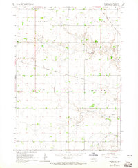
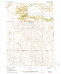
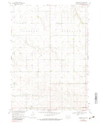
Historical Maps of Norway Township Through Time
8 maps found
Featured Locations
- Lincoln Township, SD
- Norway Township, SD
- Pleasant Township, SD
- Highland Township, SD
- Norway Center, Norway Township