
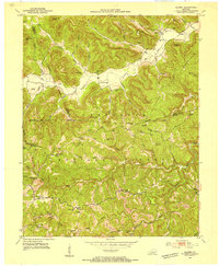
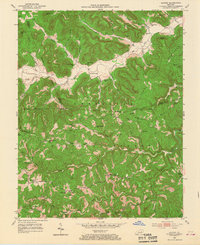
1952 Map of Alcorn
USGS Topo · Published 1952About this map
Red Lick Creek and its many winding tributaries carve through the heart of the Daniel Boone National Forest, defining a landscape where early Kentucky settlements followed the narrow valley floors. Small communities like Alcorn and Locust Branch are shown at a time when rural life centered around local institutions such as Parks Sch and the Red Lick Ch. The distribution of family-named cemeteries, including Hade Rose Cem, Barker Cem, and Gum Cem, provides a detailed record of the families who inhabited these hollows before the mid-century.
Find a feature on this map
40 named features on this map. Tap any name to fly to it.
Don’t see what you’re looking for? This feature index may not catch every label — zoom into the map to look around manually.
Map Details
Editions of this 1952 Alcorn Map
3 editions found
Other maps of this area

1891 · Manchester
USGS Topo · 1:125,000

1892 · Richmond
USGS Topo · 1:125,000

1892 · Beattyville
USGS Topo · 1:125,000

1893 · London
USGS Topo · 1:125,000

1897 · Richmond
USGS Topo · 1:125,000

1897 · London
USGS Topo · 1:125,000

1952 · Leighton
USGS Topo · 1:24,000

1952 · Irvine
USGS Topo · 1:24,000

1952 · Bighill
USGS Topo · 1:24,000

1952 · Panola
USGS Topo · 1:24,000