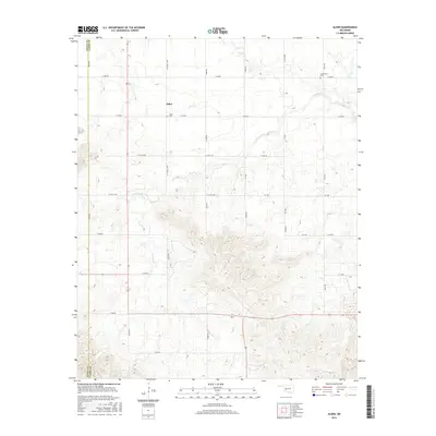
2016 Map of Alden
USGS Topo · Published 2016About this map
Alden sits as the central settlement on this modern topographic map of the Oklahoma prairie, where the boundaries of Kiowa Co and Caddo Co meet. The landscape is defined by the winding paths of E Cache Cr and its tributaries, including Tahoe Cr, Cook Cr, and Stinking Cr. For genealogists and local historians, the presence of the Alden Cem near the town center and the Greenfield Cem to the northeast provides specific points of interest for family research. The area is gridded by a dense network of local roads such as n2450 RD and e1410 RD, illustrating the enduring section-line layout of the rural Midwest. This survey captures a pocket of the Sooner State where small-scale agriculture and open terrain remain the primary features of the land.
Find a feature on this map
31 named features on this map. Tap any name to fly to it.
Don’t see what you’re looking for? This feature index may not catch every label — zoom into the map to look around manually.
Map Details
Editions of this 2016 Alden Map
This is the sole edition of this map. No revisions or reprints were ever made.
Other maps of this area

1950 · Saddle Mountain
USGS Topo · 1:62,500

1951 · Fort Cobb
USGS Topo · 1:62,500

1955 · Lawton
USGS Topo · 1:250,000

1955 · Clinton
USGS Topo · 1:250,000

1956 · Saddle Mountain
USGS Topo · 1:24,000

1956 · Alden
USGS Topo · 1:24,000

1956 · Boone
USGS Topo · 1:24,000

1956 · Richards Spur
USGS Topo · 1:24,000

1956 · Bally Mountain
USGS Topo · 1:24,000

1956 · Meers
USGS Topo · 1:24,000