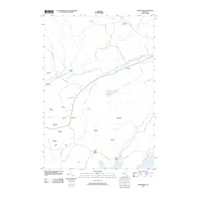
2010 Map of Alder Brook
USGS Topo · Published 2010About this map
The North Branch Saranac River carves through this northern Adirondack landscape, anchoring several small communities along its banks including Riverview and Goldsmith. This terrain is defined by a dense network of mountain peaks and hills, such as McKillip Mountain, Ryan Mountain, and Gleason Mountain, interspersed with numerous waterways like Alder Brook and Mud Pond Brook.
Find a feature on this map
51 named features on this map. Tap any name to fly to it.
Don’t see what you’re looking for? This feature index may not catch every label — zoom into the map to look around manually.
Map Details
Editions of this 2010 Alder Brook Map
This is the sole edition of this map. No revisions or reprints were ever made.
Other maps of this area

1896 · Lake Placid
USGS Topo · 1:62,500

1898 · Lake Placid
USGS Topo · 1:62,500

1902 · Saranac
USGS Topo · 1:62,500

1904 · Saranac
USGS Topo · 1:62,500

1906 · Loon Lake
USGS Topo · 1:62,500

1908 · Loon Lake
USGS Topo · 1:62,500

1911 · Lyon Mountain
USGS Topo · 1:62,500

1913 · Lyon Mountain
USGS Topo · 1:62,500

1931 · Lyon Mountain
USGS Topo · 1:62,500

1948 · Ogdensburg
USGS Topo · 1:250,000