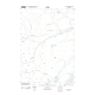
2013 Map of Alder Brook
USGS Topo · Published 2013About this map
The Adirondack Park Preserve defines the upper reaches of this landscape, where the North Br Saranac River and numerous tributaries like Wemette Brook and Uncle Toms Brook carve through a terrain of named peaks. To the south, the Saranac River widens into Union Falls Pond, marking the location of the settlement at Union Falls. This area serves as a primary drainage basin for the surrounding highlands, including the Alder Brook Mountains and summits such as McKillip Mtn and Gleason Mtn.
Find a feature on this map
58 named features on this map. Tap any name to fly to it.
Don’t see what you’re looking for? This feature index may not catch every label — zoom into the map to look around manually.
Map Details
Editions of this 2013 Alder Brook Map
This is the sole edition of this map. No revisions or reprints were ever made.
Other maps of this area

1896 · Lake Placid
USGS Topo · 1:62,500

1898 · Lake Placid
USGS Topo · 1:62,500

1902 · Saranac
USGS Topo · 1:62,500

1904 · Saranac
USGS Topo · 1:62,500

1906 · Loon Lake
USGS Topo · 1:62,500

1908 · Loon Lake
USGS Topo · 1:62,500

1911 · Lyon Mountain
USGS Topo · 1:62,500

1913 · Lyon Mountain
USGS Topo · 1:62,500

1931 · Lyon Mountain
USGS Topo · 1:62,500

1948 · Ogdensburg
USGS Topo · 1:250,000