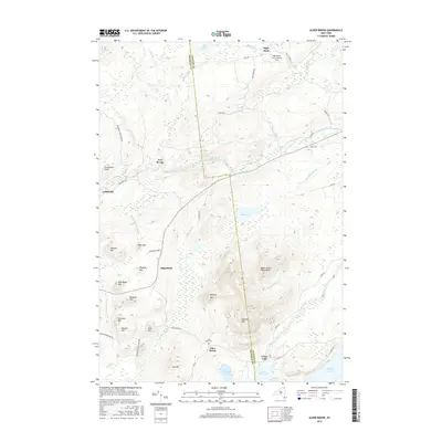
2016 Map of Alder Brook
USGS Topo · Published 2016About this map
The Franklin Co and Clinton Co boundary line bisects this portion of the northern Adirondacks, marking a transition between the dense peaks of the Alder Brook Mountains and the river-fed valleys below. The Saranac River and its North Branch dictate the local geography, converging near the settlement of Union Falls and expanding into the waters of Union Falls Pond. Smaller communities like Sugarbush, Two Brooks, and Goldsmith are situated along the winding forest roads that navigate this terrain.
Find a feature on this map
60 named features on this map. Tap any name to fly to it.
Don’t see what you’re looking for? This feature index may not catch every label — zoom into the map to look around manually.
Map Details
Editions of this 2016 Alder Brook Map
This is the sole edition of this map. No revisions or reprints were ever made.
Other maps of this area

1896 · Lake Placid
USGS Topo · 1:62,500

1898 · Lake Placid
USGS Topo · 1:62,500

1902 · Saranac
USGS Topo · 1:62,500

1904 · Saranac
USGS Topo · 1:62,500

1906 · Loon Lake
USGS Topo · 1:62,500

1908 · Loon Lake
USGS Topo · 1:62,500

1911 · Lyon Mountain
USGS Topo · 1:62,500

1913 · Lyon Mountain
USGS Topo · 1:62,500

1931 · Lyon Mountain
USGS Topo · 1:62,500

1948 · Ogdensburg
USGS Topo · 1:250,000